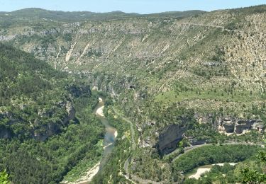
8.4 km | 14.6 km-effort
champerboux
betf
User
Length
17.9 km
Max alt
951 m
Uphill gradient
339 m
Km-Effort
22 km
Min alt
812 m
Downhill gradient
339 m
Boucle
Yes
Creation date :
2016-09-02 00:00:00.0
Updated on :
2016-09-02 00:00:00.0
4h34
Difficulty : Easy
FREE GPS app for hiking
About
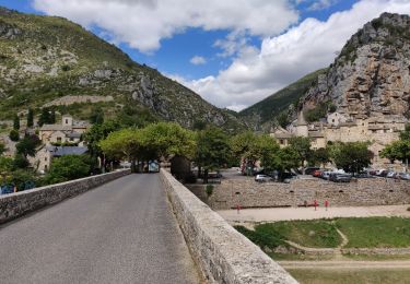
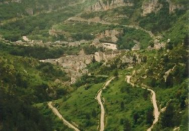
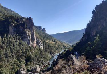
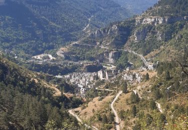
Trail Walking of 17.9 km to be discovered at Occitania, Lozère, Gorges du Tarn Causses. This trail is proposed by betf.
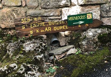
Positioning
Country:
France
Region :
Occitania
Department/Province :
Lozère
Municipality :
Gorges du Tarn Causses
Location:
Sainte-Enimie
Start:(Dec)
Start:(UTM)
532912 ; 4917382 (31T) N.
Comments
Trails nearby
Ste Enimie, le Boisset
Walking
Medium
Gorges du Tarn Causses,
Occitania,
Lozère,
France
2h 33min
Yes
Tour du Causse Méjean - Etape 1
Walking
Easy
Gorges du Tarn Causses,
Occitania,
Lozère,
France
15.5 km | 22 km-effort
4h 36min
No
Randonnée autour de Sainte-Enimie
Walking
Medium
(2)
Gorges du Tarn Causses,
Occitania,
Lozère,
France
7 km | 12.9 km-effort
3h 0min
Yes
Ste-Enimie - St-Rome
Motor
Easy
(2)
Gorges du Tarn Causses,
Occitania,
Lozère,
France
36 km | 50 km-effort
Unknown
No
GR60 jour 8 Les Vignes
Canoe - kayak
Very easy
Gorges du Tarn Causses,
Occitania,
Lozère,
France
28 km | 38 km-effort
8h 57min
No
GR60 jour 8 Sainte Enimie
Walking
Difficult
Laval-du-Tarn,
Occitania,
Lozère,
France
15.5 km | 19.3 km-effort
6h 10min
No
st enimie
Walking
Medium
Gorges du Tarn Causses,
Occitania,
Lozère,
France
7.1 km | 9 km-effort
1h 38min
Yes
champerboux pessade
Walking
Medium
(1)
Gorges du Tarn Causses,
Occitania,
Lozère,
France
8.3 km | 11 km-effort
2h 8min
Yes
Sainte-Enimie - L'ermitage
Nordic walking
Very easy
Gorges du Tarn Causses,
Occitania,
Lozère,
France
1.8 km | 3.5 km-effort
1h 0min
Yes
Agréable randonnée, riche en patrimoine.