


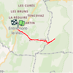

12.7 km | 23 km-effort


User


FREE GPS app for hiking
 SityTrail
IGN / Geographical institutes
SityTrail World
The world is yours!
Trail Walking of 11 km to be discovered at Auvergne-Rhône-Alpes, Savoy, Entremont-le-Vieux. This trail is proposed by dominiq.
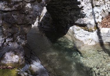
Pas de difficulté particulière.
Continuer en direction du Granier pendant 15 à 20 minutes pour voir le Mont Blanc et les marmottes !
Walking

Walking

Walking

Walking

Snowshoes

Walking

Walking

Walking

Road bike