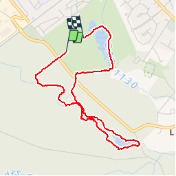


10.6 km | 11.7 km-effort

User


FREE GPS app for hiking
 SityTrail
IGN / Geographical institutes
SityTrail World
The world is yours!
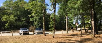
Trail Walking of 4.6 km to be discovered at New Aquitaine, Gironde, Cestas. This trail is proposed by sandrineh.
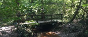
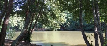
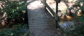
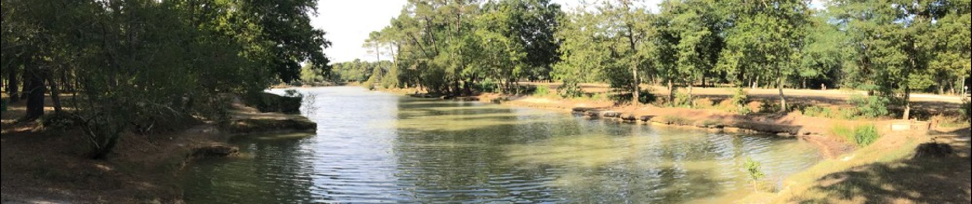
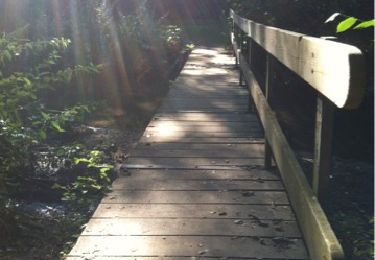
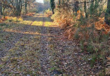
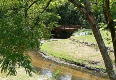
Promenade en sous bois autour de l'étang de Montsalut ou le long du cours d'eau des sources. Frais même quand il fait chaud. Attention aux moustiques.


Walking
Walking

Walking
Nordic walking
Nordic walking
Walking
Walking
Walking