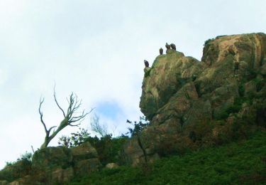
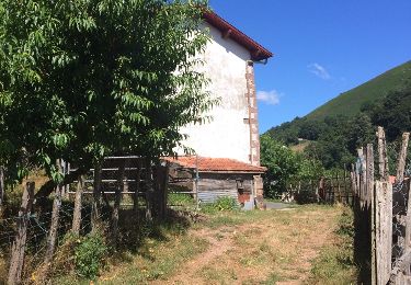
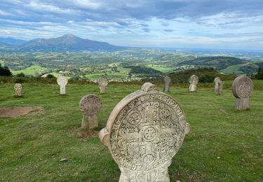
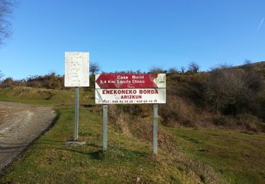
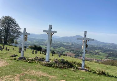
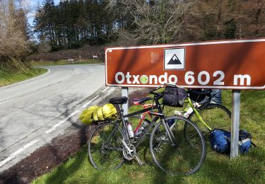
Trail Walking Itxassou - Ainhoa 2 - Photo
© OpenStreetMap contributors
Length
Length
14.8 km
Max alt
Max alt
715 m
Uphill gradient
Uphill gradient
541 m
Km-Effort
Km-Effort  
23 km
Min alt
Min alt
117 m
Downhill gradient
Downhill gradient
977 m
Boucle
Boucle
No
Creation date :
2016-08-28 00:00:00.0
Updated on :
2016-08-28 00:00:00.0

(0 Reviews)

Walking
Walking
4h54
Difficulty : Difficult

Scan this QR Code to open this trail in the SityTrail application

FREE GPS app for hiking

Logo SityTrail SityTrail

IGN / Geographical institutes

Download SityTrail from the App Store Download SityTrail from Google Play

Logo SityTrail SityTrail World

The world is yours!

Download SityTrail from the App Store Download SityTrail from Google Play Download SityTrail on Huawei AppGallery

About

Trail Walking of 14.8 km to be discovered at New Aquitaine, Pyrénées-Atlantiques, Itxassou. This trail is proposed by DanielROLLET.

Elevation profile

Positioning

Country:
France
Region :
New Aquitaine
Department/Province :
Pyrénées-Atlantiques
Municipality :
Itxassou
Location:
Unknown
Start:(UTM)
626583 ; 4791802 (30T) N.

Trails nearby

Trail Running Ainhoa - Ainhoa - L'Erebi - Photo
Running
tracegps

Running

Difficult
(1)
Ainhoa, New Aquitaine, Pyrénées-Atlantiques, France
9.3 km | 15.9 km-effort
1h 0min
Yes
Trail Walking Bidarray - Peñas d'Itxusi - Photo
Walking
laureberger1

Walking

Easy
(2)
Bidarray, New Aquitaine, Pyrénées-Atlantiques, France
11 km | 19.5 km-effort
3h 25min
Yes
Trail Walking Baztan - BIDARAY  le village abandonné d'Iratzakun G3  354573 - Photo
Walking
GUIDE
marmotte65

Walking

Very difficult
Baztan, Navarre, Unknown, Spain
11.8 km | 15.9 km-effort
4h 8min
Yes
Trail Walking Itxassou - L'ARTZAMENDI - Photo
Walking
benat40

Walking

Easy
(1)
Itxassou, New Aquitaine, Pyrénées-Atlantiques, France
8.3 km | 18.8 km-effort
Unknown
Yes
Trail Walking Ainhoa - AINHOA veille 2 la chapelle de l'aubepine
Walking
GUIDE
marmotte65

Walking

Difficult
Ainhoa, New Aquitaine, Pyrénées-Atlantiques, France
8.7 km | 14.4 km-effort
3h 16min
Yes
Trail Walking Baztan - MAILARRETA OTSONDO Frontières en béton dans le massif du Gorramendi 300m. - Photo
Walking
DECHAMPD

Walking

Difficult
Baztan, Navarre, Unknown, Spain
8.5 km | 12.5 km-effort
2h 50min
Yes
Trail Walking Baztan - MAILARRETA OTSONDO Frontières en béton dans le massif du Gorramendi - Photo
Walking
DECHAMPD

Walking

Difficult
Baztan, Navarre, Unknown, Spain
10 km | 15.3 km-effort
3h 29min
Yes
Trail Walking Ainhoa - Dantcheria gorospil col des croix erre il - Photo
Walking
GUIDE
antignacs

Walking

Medium
Ainhoa, New Aquitaine, Pyrénées-Atlantiques, France
17.1 km | 28 km-effort
5h 25min
Yes
Trail On foot Baztan - SL-NA Alkurruntz - Photo
On foot
PRO

On foot

Easy
Baztan, Navarre, Unknown, Spain
7 km | 11 km-effort
2h 29min
Yes


Close
My subscriptions