


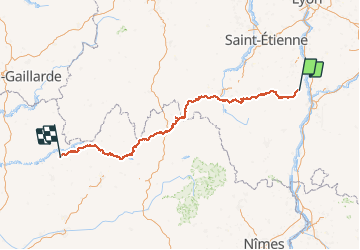


15.4 km | 22 km-effort


User


FREE GPS app for hiking
 SityTrail
IGN / Geographical institutes
SityTrail World
The world is yours!
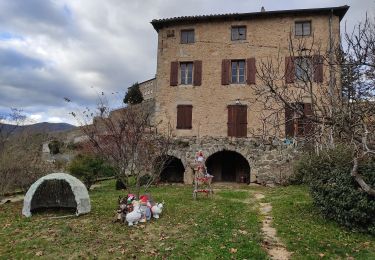
Trail Equestrian of 348 km to be discovered at Auvergne-Rhône-Alpes, Ardèche, Saint-Barthélemy-le-Plain. This trail is proposed by ambrecapiccini.
Ambre Capiccini et Bibou,comme pointure d'aventure, vous présente leur aventure en chemin de l'Ardèche à l'Aveyron.


sport
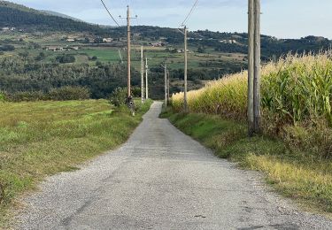
On foot
Walking
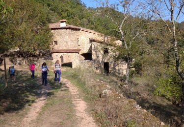
Walking

Walking
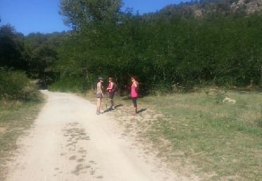
Walking
Walking
Walking
Walking