


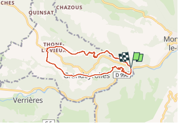

10.1 km | 14.9 km-effort

User GUIDE


FREE GPS app for hiking
 SityTrail
IGN / Geographical institutes
SityTrail World
The world is yours!
Trail Walking of 6.8 km to be discovered at Auvergne-Rhône-Alpes, Puy-de-Dôme, Grandeyrolles. This trail is proposed by jagarnier.
Un joli circuit qui, via le ruisseau de Quinsat, mène au Ravin de Quinsat puis à la Tour de Rognon, vestige des seigneurs de Montaigut.
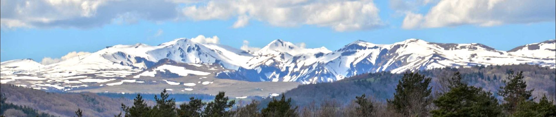
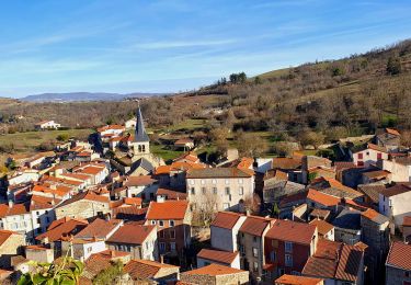
Sur les hauts, le paysage s’ouvre avec des vues sur Montaigut-Le-Blanc et les Monts du Livradois-Forez.

Walking

Walking
Walking

Walking

Walking

On foot

On foot

On foot

On foot