


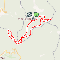

14.8 km | 23 km-effort

User


FREE GPS app for hiking
 SityTrail
IGN / Geographical institutes
SityTrail World
The world is yours!
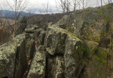
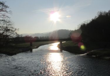
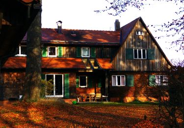
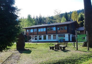
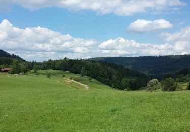
Trail Walking of 16.8 km to be discovered at Baden-Württemberg, Landkreis Calw, Bad Herrenalb. This trail is proposed by emoreau.


On foot
On foot
On foot
On foot
On foot
On foot
On foot

On foot
Other activity