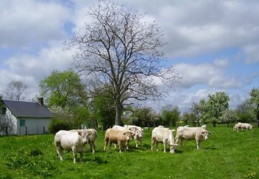
10.3 km | 11.2 km-effort
chambord 12 aout 2016
dominiquelaudou
User
Length
8.3 km
Max alt
221 m
Uphill gradient
47 m
Km-Effort
8.9 km
Min alt
193 m
Downhill gradient
48 m
Boucle
Yes
Creation date :
2016-08-12 00:00:00.0
Updated on :
2016-08-12 00:00:00.0
2h00
Difficulty : Easy
FREE GPS app for hiking
About
Trail Walking of 8.3 km to be discovered at Normandy, Eure, Chambord. This trail is proposed by dominiquelaudou.
Description
la perliere,le saussay,
la godiniere
Positioning
Country:
France
Region :
Normandy
Department/Province :
Eure
Municipality :
Chambord
Location:
Unknown
Start:(Dec)
Start:(UTM)
324699 ; 5418014 (31U) N.
Comments
Trails nearby
Circuit de la Mésangère - Mesnil-Rousset
Walking
Medium
Mesnil-Rousset,
Normandy,
Eure,
France
2h 34min
Yes
BOIS ANZERAY
Walking
Medium
Bois-Anzeray,
Normandy,
Eure,
France
10.1 km | 11.3 km-effort
2h 30min
Yes
la haye st sylvestre 26 aout 2016
Walking
Easy
La Haye-Saint-Sylvestre,
Normandy,
Eure,
France
8.5 km | 9.2 km-effort
2h 2min
Yes
la haye st sylvestre 26 fevrier 2016
Walking
Easy
La Haye-Saint-Sylvestre,
Normandy,
Eure,
France
8.5 km | 9.2 km-effort
2h 3min
Yes
chambord dans l'Eure 27
Walking
Medium
Chambord,
Normandy,
Eure,
France
6.5 km | 7.1 km-effort
1h 36min
Yes
chambord 18 aout 2017
Walking
Easy
Chambord,
Normandy,
Eure,
France
8.5 km | 9.2 km-effort
2h 2min
Yes
les bottereaux 4 aout 2017
Walking
Easy
Les Bottereaux,
Normandy,
Eure,
France
8.7 km | 9.7 km-effort
2h 7min
Yes