


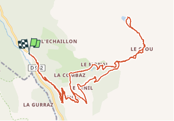

12.2 km | 22 km-effort


User


FREE GPS app for hiking
 SityTrail
IGN / Geographical institutes
SityTrail World
The world is yours!
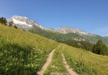
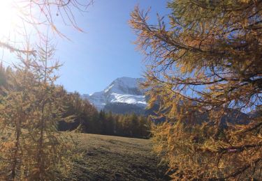
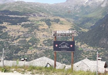
Trail Walking of 18.2 km to be discovered at Auvergne-Rhône-Alpes, Savoy, Sainte-Foy-Tarentaise. This trail is proposed by GGsavoie.
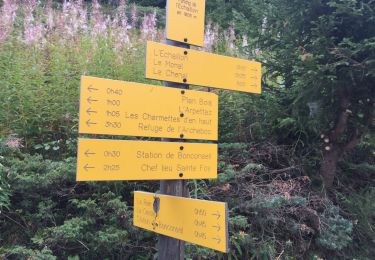
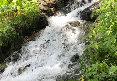
Départ du hammeau de "La Raie". Montée vers "Le Chenal" puis "Le Monal". Poursuivre vers la prise d'eau du Clou et monter à gauche au lac.
Walking
Walking

Walking
Walking
Walking
Walking
Walking
Walking
Walking