


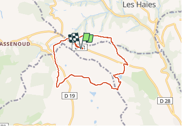


7.5 km | 11.2 km-effort


User


FREE GPS app for hiking
 SityTrail
IGN / Geographical institutes
SityTrail World
The world is yours!
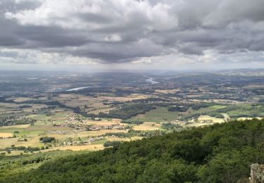
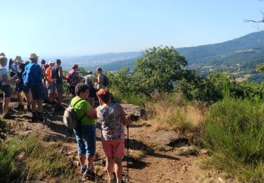
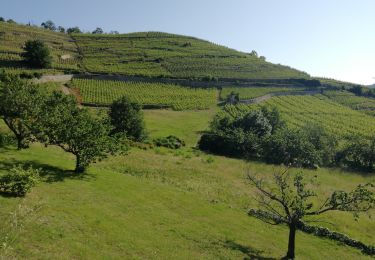
Trail Walking of 7.8 km to be discovered at Auvergne-Rhône-Alpes, Rhône, Condrieu. This trail is proposed by Jean.knibbe.
Balade autour du gite situé au Lieu-dit Le Grand Roule (RD 28) à 69420 Condrieu.
http://www.gite-rasera-condrieu.fr
A proximité:
- Mont Ministre et mont Monet
- Parc Naturel Régional du Pilat, circuit vélo N°3

Walking
Walking
Walking
Walking
Walking
Walking
On foot
Walking
Walking