


8.3 km | 14.7 km-effort


User


FREE GPS app for hiking
 SityTrail
IGN / Geographical institutes
SityTrail World
The world is yours!
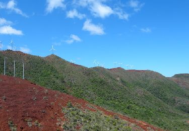
Trail Walking of 6.8 km to be discovered at Unknown, South Province, Mont Dore. This trail is proposed by zazie.
Une très belle vue sur Nouméa. Attention à la descente technique !
Walking

Très belle randonnée, un cheminement très bien réalisé, bravo d'ailleurs pour le boulot ! Nous avons pris le chemin côté mer, plus court. Mais très raide. Il est classé "Difficile" et je confirme ! il faut être en bonne santé pour s'y attaquer. Nous avons mis 4h aller-retour, pause comprise, quand ils donnent 4h30 en théorie.