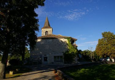
62 km | 81 km-effort
Compostelle 2: 6-Cahors - Lescabanes
prv
User
Length
26 km
Max alt
315 m
Uphill gradient
569 m
Km-Effort
33 km
Min alt
110 m
Downhill gradient
484 m
Boucle
No
Creation date :
2016-07-31 00:00:00.0
Updated on :
2016-07-31 00:00:00.0
6h20
Difficulty : Unknown
FREE GPS app for hiking
About
Trail Walking of 26 km to be discovered at Occitania, Lot, Cahors. This trail is proposed by prv.
Description
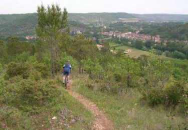
St Jacques de Compostelle par la vallée du Célé
Positioning
Country:
France
Region :
Occitania
Department/Province :
Lot
Municipality :
Cahors
Location:
Unknown
Start:(Dec)
Start:(UTM)
375439 ; 4922538 (31T) N.
Comments
Trails nearby
Cahors les Durands 7km
Walking
Easy
(1)
Pradines,
Occitania,
Lot,
France
7.1 km | 9.3 km-effort
2h 13min
Yes
lamagdelaine, vers
Mountain bike
Very difficult
Lamagdelaine,
Occitania,
Lot,
France
33 km | 41 km-effort
2h 19min
Yes
15km chemin des combettes
Nordic walking
Very easy
(1)
Pradines,
Occitania,
Lot,
France
14.8 km | 17.9 km-effort
2h 15min
Yes
Larroque des arcs constant valroufie
Walking
Very easy
Bellefont-La Rauze,
Occitania,
Lot,
France
11.6 km | 15 km-effort
2h 38min
Yes
Étape Cahors Lascabannes
Walking
Easy
Cahors,
Occitania,
Lot,
France
23 km | 30 km-effort
18h 50min
No
Cahors - Lascabanes - Chemin de Compostelle
Walking
Very difficult
(1)
Cahors,
Occitania,
Lot,
France
24 km | 31 km-effort
9h 30min
No