


19.1 km | 36 km-effort

User


FREE GPS app for hiking
 SityTrail
IGN / Geographical institutes
SityTrail World
The world is yours!
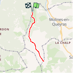
Trail Walking of 11.9 km to be discovered at Provence-Alpes-Côte d'Azur, Hautes-Alpes, Château-Ville-Vieille. This trail is proposed by suntajl.
Décrit dans les guides avec peu de précisions et carte IGN comporte quelques petites erreurs.
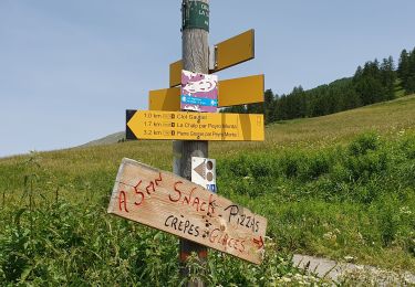
Nous nous sommes garés 200m avant le grand parking du sommret Bucher et la trace commence à cet endroit.
Belle promenade facile, chemins toujours évidents sauf à partir de 2517m où il ne faut pas suivre le tracé IGN. Super point de vue au col, pas obligatoire de monter à la Pointe de Rasis.


Walking

Walking

Walking

Mountain bike

Snowshoes
Walking

Walking
Snowshoes
Walking
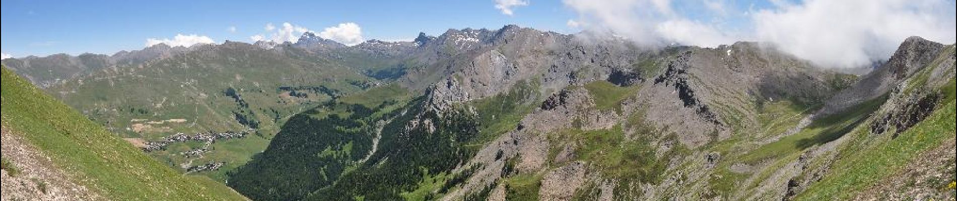
super beau