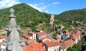

Blesle_Montignat

jagarnier
User GUIDE


2h30
Difficulty : Medium

FREE GPS app for hiking
About
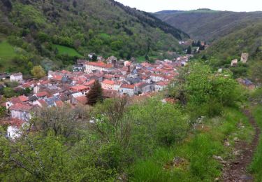
Trail Walking of 8.6 km to be discovered at Auvergne-Rhône-Alpes, Haute-Loire, Blesle. This trail is proposed by jagarnier.
Description
Le Cézalier s'achève ici par d'étroits plateaux basaltiques. La randonnée traverse ceux du Montignat et de Champ-Grand, séparés par le val de Ferrière. Vous traverserez l'ancien village meunier de Besse et, au retour vous découvrirez l'important patrimoine médiéval de Blesle.
Positioning
Comments
Trails nearby
On foot

Walking

Walking

Walking

Walking

Walking

Walking

Walking


Walking


 SityTrail


