


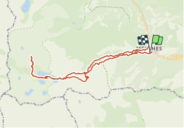

11.6 km | 19.6 km-effort

User GUIDE


FREE GPS app for hiking
 SityTrail
IGN / Geographical institutes
SityTrail World
The world is yours!
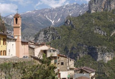
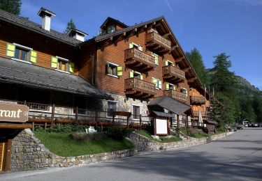
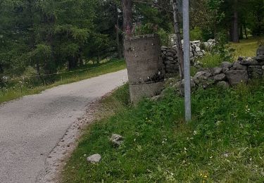
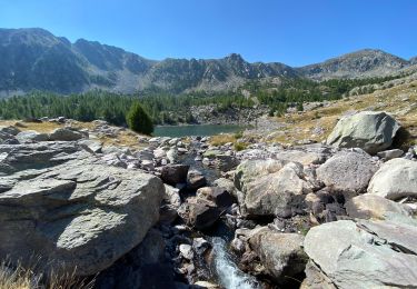
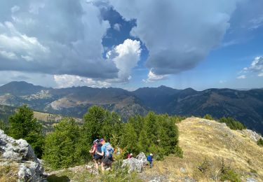
Trail Walking of 22 km to be discovered at Provence-Alpes-Côte d'Azur, Maritime Alps, Tende. This trail is proposed by Orcal37.
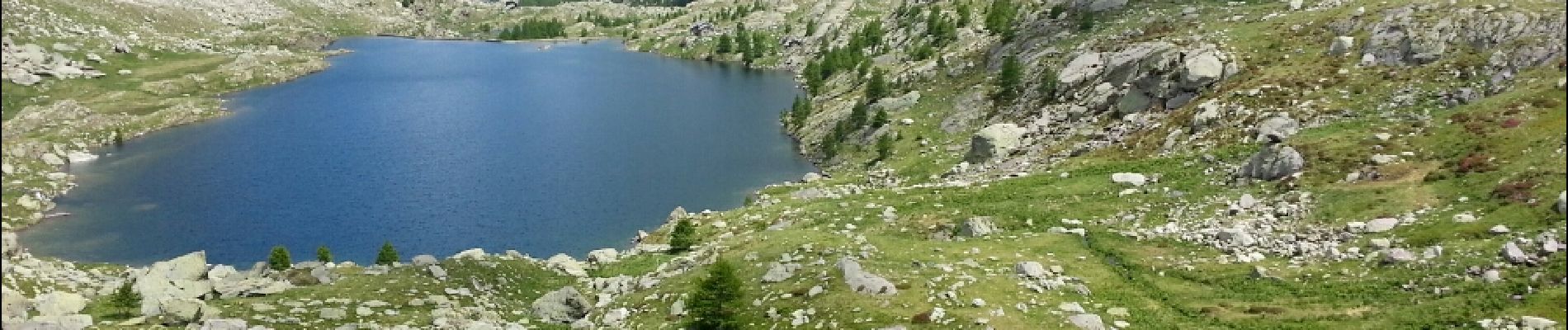
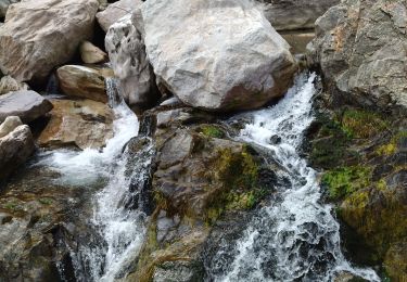
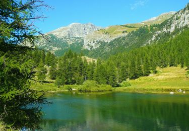
Lac des Mesches - Vallée des Merveilles - 2016 06 23 - 1000m 22.3km


Walking
On foot
On foot
On foot

Walking

Walking
Walking
Walking
Walking