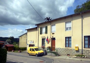
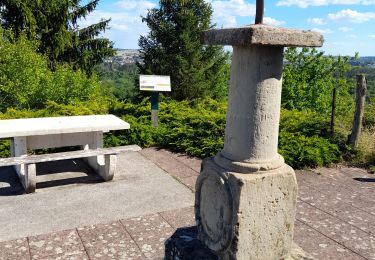
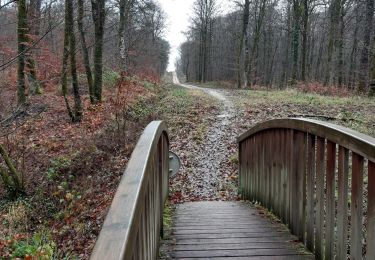
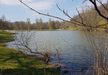
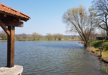
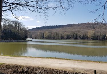
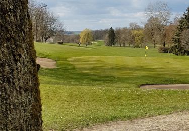
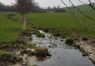
Trail Walking Saint-Remimont - Saint remimont  - Photo
© OpenStreetMap contributors
Length
Length
15.5 km
Max alt
Max alt
424 m
Uphill gradient
Uphill gradient
286 m
Km-Effort
Km-Effort  
19.3 km
Min alt
Min alt
330 m
Downhill gradient
Downhill gradient
288 m
Boucle
Boucle
Yes
Creation date :
2016-07-10 00:00:00.0
Updated on :
2016-07-10 00:00:00.0

(1 Reviews)

Walking
Walking
4h07
Difficulty : Easy

Scan this QR Code to open this trail in the SityTrail application

FREE GPS app for hiking

Logo SityTrail SityTrail

IGN / Geographical institutes

Download SityTrail from the App Store Download SityTrail from Google Play

Logo SityTrail SityTrail World

The world is yours!

Download SityTrail from the App Store Download SityTrail from Google Play Download SityTrail on Huawei AppGallery

About

Trail Walking of 15.5 km to be discovered at Grand Est, Vosges, Saint-Remimont. This trail is proposed by grattounette.

Elevation profile

Positioning

Country:
France
Region :
Grand Est
Department/Province :
Vosges
Municipality :
Saint-Remimont
Location:
Unknown
Start:(UTM)
715480 ; 5347685 (31U) N.

Comments

Please log in to post a review or rate the element


sympa surtout l itinéraire qui longe la forêt vers Parey ( très beau panorama sur les collines environnantes). Mais attention au parcours dans la forêt car les sentiers ont tendance à disparaître ! il faut un gps avec une bonne précision!


Trails nearby

Trail On foot Vittel - Les Crêtes du Montfort - Photo
On foot
GUIDE+

On foot

Easy
Vittel, Grand Est, Vosges, France
11.3 km | 14.3 km-effort
3h 15min
Yes
Trail Walking Vittel - circuit Sainte Anne n15 - Photo
Walking
fif59280

Walking

Medium
Vittel, Grand Est, Vosges, France
6.5 km | 8.6 km-effort
1h 43min
No
Trail Walking Bulgnéville - PR3 Bigneville étang des récollets . Contrexeville lac de conge - Photo
Walking
GUIDE
stef789

Walking

Very easy
Bulgnéville, Grand Est, Vosges, France
12 km | 15 km-effort
3h 6min
Yes
Trail Walking Vittel - petite balade nocturne dans le parc de Vittel  - Photo
Walking
GUIDE
stef789

Walking

Very easy
Vittel, Grand Est, Vosges, France
4.7 km | 5.3 km-effort
1h 16min
Yes
Trail Walking Bulgnéville - Bulgneville : Sur les traces du passé - Photo
Walking
ABICHE

Walking

Very easy
Bulgnéville, Grand Est, Vosges, France
12.5 km | 15.7 km-effort
3h 12min
Yes
Trail Walking Bulgnéville - Bulgnéville : Circuit court des 2 lacs - Photo
Walking
ABICHE

Walking

Very easy
Bulgnéville, Grand Est, Vosges, France
11.6 km | 14.4 km-effort
2h 54min
Yes
Trail Walking Vittel - Vittel : des parcs aux lacs - Photo
Walking
ABICHE

Walking

Very easy
Vittel, Grand Est, Vosges, France
12.9 km | 15.9 km-effort
3h 27min
Yes
Trail Walking Vittel - Vittel 11 : Les golfs - Photo
Walking
ABICHE

Walking

Very easy
Vittel, Grand Est, Vosges, France
7.4 km | 9.1 km-effort
1h 39min
Yes
Trail Walking Vittel - Vittel 12 : Les crêtes du Montfort - Photo
Walking
ABICHE

Walking

Easy
(1)
Vittel, Grand Est, Vosges, France
12.3 km | 15.4 km-effort
3h 18min
Yes


Close
My subscriptions