


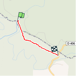

22 km | 29 km-effort


User


FREE GPS app for hiking
 SityTrail
IGN / Geographical institutes
SityTrail World
The world is yours!
Trail Walking of 1.5 km to be discovered at Occitania, Tarn, Arfons. This trail is proposed by Pierre11.
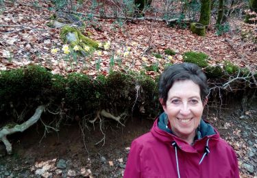
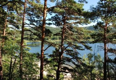
liaison non balisée pour shunter plusieurs lacets de la Rigole de la Montagne. Retour sur la route d'Arfons à 150 m de la Rigole (lieudit les Cabanelles - tables de pique-nique)- Tronçon sur circuit entre le Lampy et Lacombe
Walking

Walking
Walking
Walking
Walking
Walking
Mountain bike