


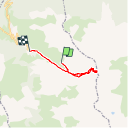

11.2 km | 25 km-effort


User


FREE GPS app for hiking
 SityTrail
IGN / Geographical institutes
SityTrail World
The world is yours!
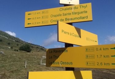
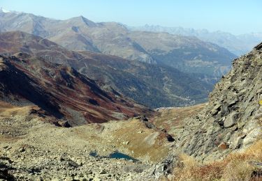
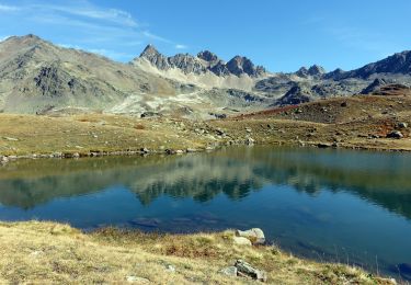
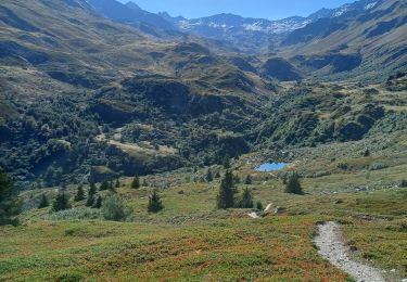
Trail Snowshoes of 10.2 km to be discovered at Auvergne-Rhône-Alpes, Savoy, Valmeinier. This trail is proposed by karawatsj.
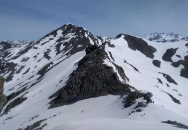
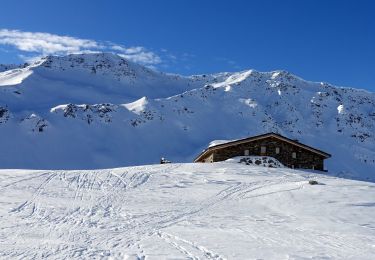
Mooie skitour met zicht op Lac de Bissorte vanaf de Col des Marches.
Vertrekpunt vanop de uiterst linkse skipist Inversins ca 200m onder bovenstation
Walking
Touring skiing

Walking
Snowshoes
Walking
Walking
Walking
Walking

Walking