


7.8 km | 13.4 km-effort


User


FREE GPS app for hiking
 SityTrail
IGN / Geographical institutes
SityTrail World
The world is yours!
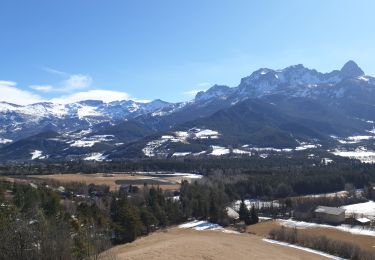
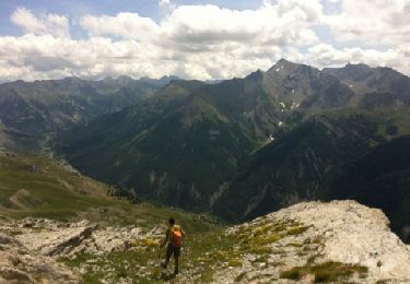
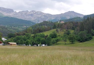
Trail Cycle of 90 km to be discovered at Provence-Alpes-Côte d'Azur, Alpes-de-Haute-Provence, Enchastrayes. This trail is proposed by bqu34.
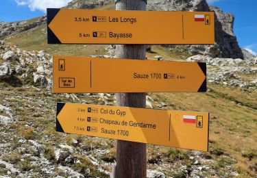
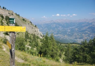
Col de Restefond
Faux col de Restefond
Col dela Moutière
Col de la Bonette
Col des Granges communes
Col des Fourches
Walking
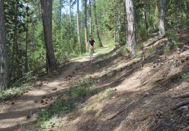
Mountain bike
Walking

Walking
Electric bike
Walking
Walking
Walking
Walking