


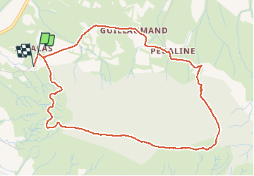

17.1 km | 22 km-effort


User


FREE GPS app for hiking
 SityTrail
IGN / Geographical institutes
SityTrail World
The world is yours!
Trail Walking of 6 km to be discovered at Occitania, Gard, Pompignan. This trail is proposed by zoe.vienne.
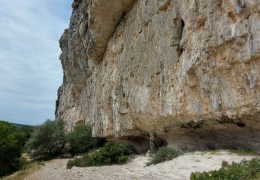
Tour de la montagne voie haute.
Pas de difficultés particulière si ce n'est un peu de hors piste pour éviter la carrière, suivre la barrière à moutons en descente pour rejoindre Pégaline.

Walking
Walking
Walking
Walking
Walking

On foot
Walking
Walking
Walking