


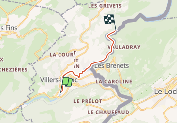

11.5 km | 18.8 km-effort


User


FREE GPS app for hiking
 SityTrail
IGN / Geographical institutes
SityTrail World
The world is yours!
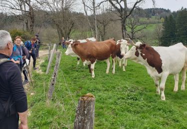
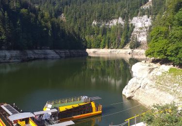
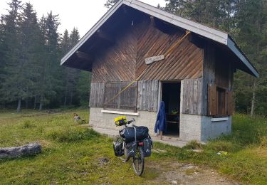
Trail Canoe - kayak of 6 km to be discovered at Bourgogne-Franche-Comté, Doubs, Villers-le-Lac. This trail is proposed by benoit747.
Aller - retour 12km
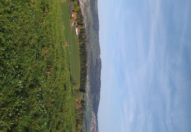
superbe paysage
attention aux navettes dans les méandres entre Villers le lac et le lac de Chaillexon
Peux être surpeuplé en haute saison
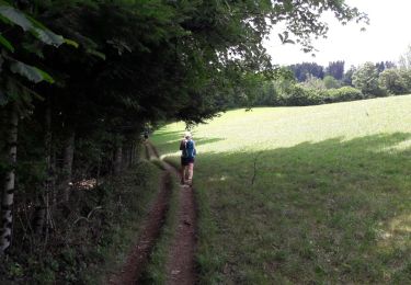
Walking
On foot
On foot
On foot
Walking
Walking
Walking
Walking
Bicycle tourism