Trail Walking Polignac - Polignac-La Source_9,7 km - Photo

Polignac-La Source_9,7 km

© OpenStreetMap contributors
Length
Length
9.7 km
Max alt
Max alt
858 m
Uphill gradient
Uphill gradient
306 m
Km-Effort
Km-Effort  
13.8 km
Min alt
Min alt
660 m
Downhill gradient
Downhill gradient
306 m
Boucle
Boucle
Yes
Creation date :
2016-07-01 00:00:00.0
Updated on :
2016-07-01 00:00:00.0

(2 Reviews)

Walking
Walking
3h08
Difficulty : Medium

Scan this QR Code to open this trail in the SityTrail application

FREE GPS app for hiking

Logo SityTrail SityTrail

IGN / Geographical institutes

Download SityTrail from the App Store Download SityTrail from Google Play

Logo SityTrail SityTrail World

The world is yours!

Download SityTrail from the App Store Download SityTrail from Google Play Download SityTrail on Huawei AppGallery

About

Trail Walking of 9.7 km to be discovered at Auvergne-Rhône-Alpes, Haute-Loire, Polignac. This trail is proposed by Pousscailleux.

Description


D'après le Circuit n°376 : LA SOURCE (balisé vert en mauvais état), prélevé sur le site de la mairie de Polignac

Les Estreys/ Les Estreys

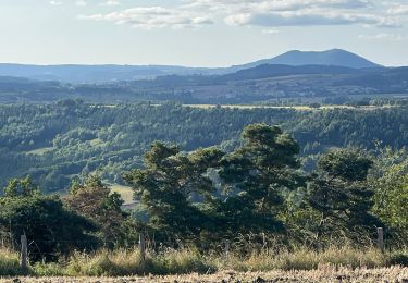
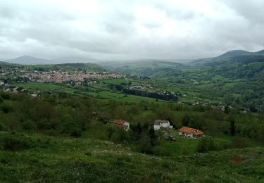
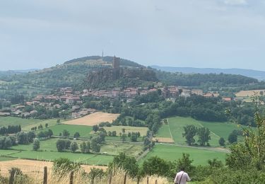
Parcours particulièrement riche en éléments naturels (source, orgues, cascade) et en archéologie.

Départ à la source d’eau ferrugineuse des Estreys, au bord de la Borne : stationnement possible. Traverser le village pour monter jusqu’au passage à niveau SNCF. Longer la voie ferrée. Passer sous la voie et rejoindre la D113 au moulin des Estreys : chapelle et ferme ancienne.
Repasser sous la voie ferrée direction Le Collet, possibilité de rejoindre Polignac via la Malouteyre. Longer la RN 102. Bois de pins de boulange vers Saint Anne, Sinzelles, site archéologique très riche, grotte du Rond Barry.
Près de Locussol prendre le chemin à gauche, descendre vers les Estreys, vue sur les orgues, cascade, magnifique point de vue. Repasser sous la voie ferrée, maison du XVème siècle à voir aux Estreys.

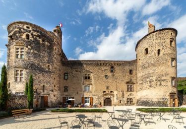
Une deuxième boucle est possible de l’autre côté de la Borne : vestiges du Château Fort de Cheylon ( IX ème siècle)

Elevation profile

Positioning

Country:
France
Region :
Auvergne-Rhône-Alpes
Department/Province :
Haute-Loire
Municipality :
Polignac
Location:
Unknown
Start:(UTM)
564168 ; 4990779 (31T) N.

Comments

Please log in to post a review or rate the element


Ballade sympa, difficulté moyenne.


Trails nearby

Trail Walking Blanzac - Rachat - Chapelle de Chassaleuil - Photo
Walking
Jean-MarieFaux

Walking

Very easy
Blanzac, Auvergne-Rhône-Alpes, Haute-Loire, France
10.3 km | 11.7 km-effort
3h 0min
Yes
Trail Walking Le Puy-en-Velay - 1 Stevenson Le Puy en Velay - Le Monastier sur Gazeille - Photo
Walking
GUIDE
VANDERPUTTENMi

Walking

Very difficult
Le Puy-en-Velay, Auvergne-Rhône-Alpes, Haute-Loire, France
22 km | 31 km-effort
5h 21min
No
Trail Walking Polignac - Polignac  - Photo
Walking
boyer43

Walking

Very difficult
(1)
Polignac, Auvergne-Rhône-Alpes, Haute-Loire, France
22 km | 30 km-effort
6h 47min
Yes
Trail Walking Polignac - Circuit autour de POLIGNAC - Photo
Walking
Jean-MarieFaux

Walking

Easy
(1)
Polignac, Auvergne-Rhône-Alpes, Haute-Loire, France
8.7 km | 11.4 km-effort
2h 21min
Yes
Trail Walking Le Puy-en-Velay - 1ère étape Stevenson - Photo
Walking
heldupina

Walking

Medium
Le Puy-en-Velay, Auvergne-Rhône-Alpes, Haute-Loire, France
18.9 km | 26 km-effort
5h 1min
No
Trail Walking Vals-près-le-Puy - copostelle 07/08 - Photo
Walking
chantalwaltzer

Walking

Vals-près-le-Puy, Auvergne-Rhône-Alpes, Haute-Loire, France
28 km | 34 km-effort
6h 19min
No
Trail Walking Le Puy-en-Velay - Urban train le puy envelay - Photo
Walking
nanard223

Walking

Medium
Le Puy-en-Velay, Auvergne-Rhône-Alpes, Haute-Loire, France
18.6 km | 28 km-effort
4h 41min
No
Trail Walking Le Puy-en-Velay - 2023 Puy en Velay / Figeac par chemin de compostel - Photo
Walking
staubalex

Walking

Very difficult
Le Puy-en-Velay, Auvergne-Rhône-Alpes, Haute-Loire, France
257 km | 347 km-effort
78h 56min
No
Trail Walking Polignac - 2022-09-10_10h36m53_château de st Vidal - Photo
Walking
Gegetop

Walking

Difficult
Polignac, Auvergne-Rhône-Alpes, Haute-Loire, France
9.5 km | 13.5 km-effort
3h 4min
Yes


Close
My subscriptions