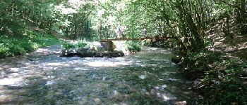
Trail Walking Voutezac - Ayen-160623 - Ceyrat-FontaineCrozes - Photo

Ayen-160623 - Ceyrat-FontaineCrozes

 randodan
randodan

User

© OpenStreetMap contributors
Length
Length
7.5 km
Max alt
Max alt
368 m
Uphill gradient
Uphill gradient
239 m
Km-Effort
Km-Effort  
10.7 km
Min alt
Min alt
149 m
Downhill gradient
Downhill gradient
240 m
Boucle
Boucle
Yes
Creation date :
2016-09-07 00:00:00.0
Updated on :
2016-09-07 00:00:00.0

(0 Reviews)

Walking
Walking
2h35
Difficulty : Medium

Scan this QR Code to open this trail in the SityTrail application

FREE GPS app for hiking

Logo SityTrail SityTrail

IGN / Geographical institutes

Download SityTrail from the App Store Download SityTrail from Google Play

Logo SityTrail SityTrail World

The world is yours!

Download SityTrail from the App Store Download SityTrail from Google Play Download SityTrail on Huawei AppGallery

About

Trail Walking of 7.5 km to be discovered at New Aquitaine, Corrèze, Voutezac. This trail is proposed by randodan.

Description

Ayen, 23 juin 2016<br>
- La Fontaine des Crozes -<br>
<small>(d'après la fiche du C.G. Corrèze)</small><br>
9h45, départ de Ceyrat (en Corrèze, pas Puy-de-Dôme !).<br>
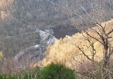
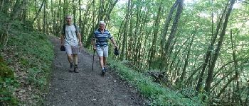
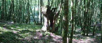
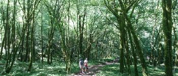
Bonne grimpette dans les bois jusqu'à 'Les Pères' . De la-haut, beau panorama et on essaie de situer notre VVF . Un peu de marche au soleil, puis on replonge dans la verdure du bois du Vaysset.<br>
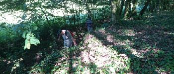
Oups, mon GPS me rappelle à l'ordre : on s'écarte du circuit prévu . Normal, le panneau et la prise du sentier sont complètement enfouis dans un énorme massif d'orties ! Suivent quelques autres passages, limite hors piste, où la végétation nous oblige à improviser.<br>
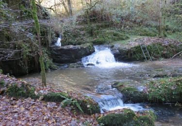
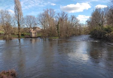
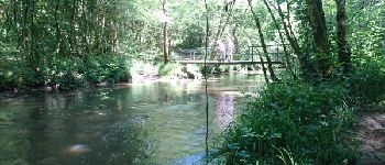
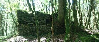
Sans le coup d’oeil infaillible de Maurice, alors que nous étions prêts à traverser la Loyre, nous aurions raté la Fontaine des Crozes, précisément le but de cette rando . Une 1ère passerelle sur la Loyre (pas la Loire ;o), de vieilles ruines (Patel), une 2e passerelle, puis terminons le long d'une carrière très poussiéreuse.<br
12h20 à la voiture. La plus belle rando du coin !<br>
3 participants (Mi,Mo,Da).

Elevation profile

Photos

Points of interest

Point of interest Vignols - 10 - Les Ruines de Patel - Photo
randodan

Positioning

Country:
France
Region :
New Aquitaine
Department/Province :
Corrèze
Municipality :
Voutezac
Location:
Unknown
Start:(UTM)
375826 ; 5017966 (31T) N.

Trails nearby

Trail Walking Lascaux - La Tine - Lascaux - Photo
Walking
houbart

Walking

Medium
(1)
Lascaux, New Aquitaine, Corrèze, France
8.3 km | 11.9 km-effort
2h 35min
Yes
Trail Walking Allassac - w-frankrijk-gorges-du-saillant - Photo
Walking
gpstracks

Walking

Very easy
(1)
Allassac, New Aquitaine, Corrèze, France
7.1 km | 11.1 km-effort
Unknown
No
Trail Trail Voutezac - 20201226 Saillant 20.5K - Photo
Trail
bcarpentier

Trail

Medium
Voutezac, New Aquitaine, Corrèze, France
21 km | 31 km-effort
3h 22min
Yes
Trail Walking Voutezac - Le Saillant - Vallée de la Vézère - Photo
Walking
houbart

Walking

Very easy
(1)
Voutezac, New Aquitaine, Corrèze, France
9.3 km | 14 km-effort
3h 3min
Yes
Trail Walking Allassac - Boucle du vieux Saillant - Photo
Walking
houbart

Walking

Very easy
Allassac, New Aquitaine, Corrèze, France
3 km | 3.8 km-effort
45min
Yes
Trail Walking Voutezac - Les coteaux de Vertougit - Voutezac - Photo
Walking
tracegps

Walking

Medium
Voutezac, New Aquitaine, Corrèze, France
10.9 km | 15.3 km-effort
3h 30min
Yes
Trail Walking Voutezac - La fontaine des Crozes - Voutezac - Photo
Walking
tracegps

Walking

Difficult
(1)
Voutezac, New Aquitaine, Corrèze, France
11.8 km | 16.7 km-effort
3h 0min
Yes
Trail Walking Allassac - cirque du saillant  - Photo
Walking
dmortier

Walking

Difficult
Allassac, New Aquitaine, Corrèze, France
9.6 km | 13.8 km-effort
3h 12min
Yes
Trail Motorbike Allassac - Rocher du diable  - Photo
Motorbike
roicarotte

Motorbike

Very difficult
Allassac, New Aquitaine, Corrèze, France
3.8 km | 5.4 km-effort
28min
No


Close
My subscriptions