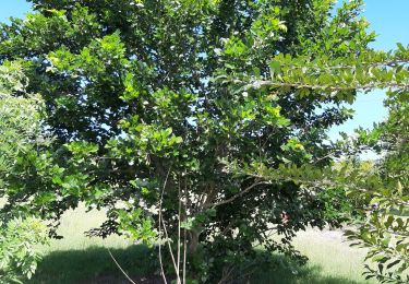
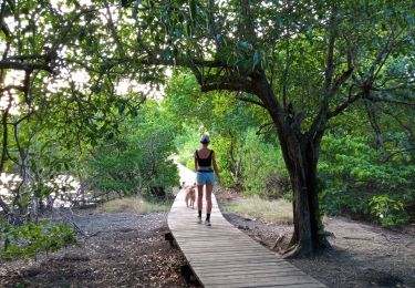
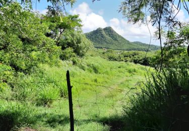
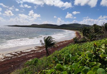
Trail Walking Le Marin - GabyG. Cap Macré/Cap beauchêne. - Photo

GabyG. Cap Macré/Cap beauchêne.

 GabyG
GabyG

User GUIDE

© OpenStreetMap contributors
Length
Length
5 km
Max alt
Max alt
89 m
Uphill gradient
Uphill gradient
114 m
Km-Effort
Km-Effort  
6.5 km
Min alt
Min alt
0 m
Downhill gradient
Downhill gradient
114 m
Boucle
Boucle
Yes
Creation date :
2017-02-12 00:00:00.0
Updated on :
2017-02-12 00:00:00.0

(1 Reviews)

Walking
Walking
1h25
Difficulty : Difficult

Scan this QR Code to open this trail in the SityTrail application

FREE GPS app for hiking

Logo SityTrail SityTrail

IGN / Geographical institutes

Download SityTrail from the App Store Download SityTrail from Google Play

Logo SityTrail SityTrail World

The world is yours!

Download SityTrail from the App Store Download SityTrail from Google Play Download SityTrail on Huawei AppGallery

About

Trail Walking of 5 km to be discovered at Martinique, Unknown, Le Marin. This trail is proposed by GabyG.

Description

Eviter les périodes de grosse chaleur: Juillet à Octobre.

Elevation profile

Photos

Points of interest

Point of interest Le Marin - Point 1 - Photo
GabyG
LE MARIN 
Point of interest Le Marin - Point 2 - Photo
GabyG
LE MARIN 
Point of interest Le Marin - Point 3 - Photo
GabyG
LE MARIN 
Point of interest Le Marin - Point 5 - Photo
GabyG
LE MARIN 
Point of interest Le Marin - Point 6 - Photo
GabyG
LE MARIN 
Point of interest Le Marin - Point 7 - Photo
GabyG
LE MARIN 
Point of interest Le Marin - Point 8 - Photo
GabyG
LE MARIN 
Point of interest Le Marin - Point 10 - Photo
GabyG
LE MARIN 
Point of interest Le Marin - Point 12 - Photo
GabyG
LE MARIN 

Positioning

Country:
France
Region :
Martinique
Department/Province :
Unknown
Municipality :
Le Marin
Location:
Unknown
Start:(UTM)
735585 ; 1601315 (20P) N.

Comments

Please log in to post a review or rate the element


belle randonnée


Trails nearby

Trail Walking Sainte-Anne - du piton crève-coeur vers Le Cap chevalier  - Photo
Walking
GUIDE
GabyG

Walking

Very easy
(1)
Sainte-Anne, Martinique, Unknown, France
3.9 km | 4.7 km-effort
58min
No
Trail Walking Sainte-Anne - Baie des Anglais - Anse Michel - Photo
Walking
GUIDE
David25400

Walking

Very easy
(1)
Sainte-Anne, Martinique, Unknown, France
10.1 km | 11.2 km-effort
3h 18min
Yes
Trail Walking Sainte-Anne - Cap Chevalier vers la pointe-Marin - Photo
Walking
GUIDE
GabyG

Walking

Medium
Sainte-Anne, Martinique, Unknown, France
8 km | 10.1 km-effort
2h 17min
No
Trail Walking Le Vauclin - Boucle de petit Macabou et grand macabou. - Photo
Walking
GUIDE
GabyG

Walking

Medium
Le Vauclin, Martinique, Unknown, France
8.7 km | 10.2 km-effort
2h 28min
Yes
Trail Walking Sainte-Anne - les anglais vers Cap chevalier  - Photo
Walking
GUIDE
GabyG

Walking

Easy
Sainte-Anne, Martinique, Unknown, France
3 km | 3.8 km-effort
1h 44min
No
Trail Walking Le Vauclin - Randonnée scolaire - Photo
Walking
GUIDE
GabyG

Walking

Medium
Le Vauclin, Martinique, Unknown, France
6.9 km | 8.2 km-effort
2h 40min
Yes
Trail Walking Sainte-Anne - Quartier ferré vers Cap Chevalier avec modification du parcours en cas de problème à Anse aux bois !  - Photo
Walking
GUIDE
GabyG

Walking

Medium
Sainte-Anne, Martinique, Unknown, France
8 km | 9.4 km-effort
2h 24min
No
Trail Walking Le Vauclin - Petit parcours Macabou - Photo
Walking
GUIDE
Lamartiniere

Walking

Easy
Le Vauclin, Martinique, Unknown, France
5.3 km | 6 km-effort
1h 42min
Yes
Trail sport Sainte-Anne - Piton CRÈVE cœur  - Photo
sport
GUIDE
Jean-Luc Farant

sport

Very easy
Sainte-Anne, Martinique, Unknown, France
6.2 km | 9.3 km-effort
Unknown
Yes


Close
My subscriptions