


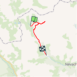

10.2 km | 24 km-effort


User


FREE GPS app for hiking
 SityTrail
IGN / Geographical institutes
SityTrail World
The world is yours!
Trail Walking of 12.2 km to be discovered at Provence-Alpes-Côte d'Azur, Hautes-Alpes, Névache. This trail is proposed by DanielROLLET.
2016.06.30
Rando CCE Briançon
9 personnes
1 gros orage entre lac Rond et Lac des Muandes
Pause pique-nique Lac Long de 12h00 à 12h40
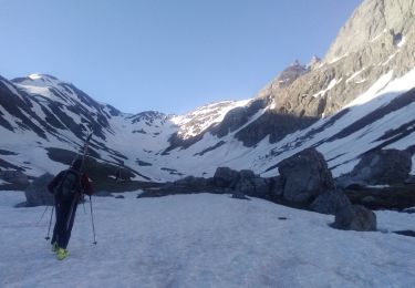
Touring skiing

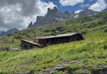
Walking

Other activity

Walking

Walking

Walking
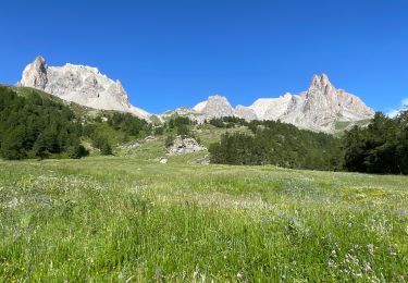
Walking

sport

Walking