


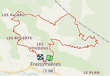


14.7 km | 26 km-effort


User


FREE GPS app for hiking
 SityTrail
IGN / Geographical institutes
SityTrail World
The world is yours!
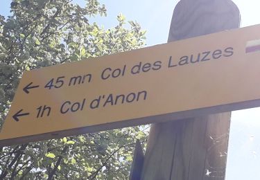
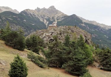
Trail Walking of 9.6 km to be discovered at Provence-Alpes-Côte d'Azur, Hautes-Alpes, Freissinières. This trail is proposed by markford.
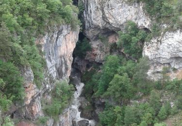
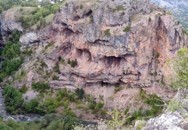
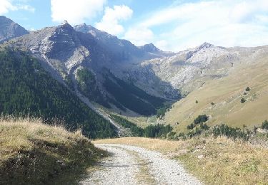
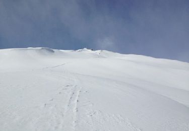
Vue panoramique sur le val du Durance. Decent un peu technique sur le sentier du falaise.
panoramic view of the durance valley. the decent of the on the cliff path a little technical.

Walking
Walking

Walking
Walking
Walking
Walking
Walking
Walking
Other activity