


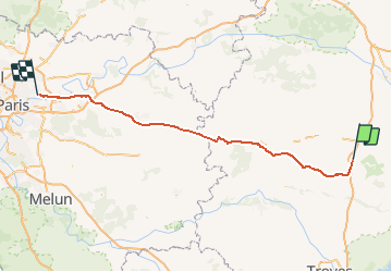

66 km | 71 km-effort

User


FREE GPS app for hiking
 SityTrail
IGN / Geographical institutes
SityTrail World
The world is yours!
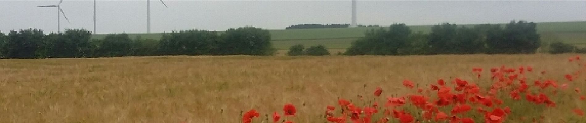
Trail Cycle of 139 km to be discovered at Grand Est, Aube, Mailly-le-Camp. This trail is proposed by destras.
de Mailly-le-camp à chelles

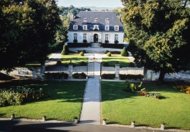
Cycle