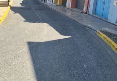
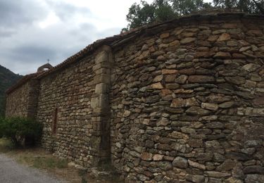
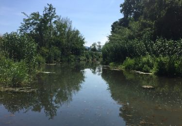
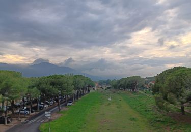
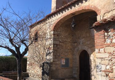
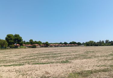
Trail Walking Palau-del-Vidre - Plan d'eau de Palau del vidre - Photo

Plan d'eau de Palau del vidre

© OpenStreetMap contributors
Length
Length
2 km
Max alt
Max alt
28 m
Uphill gradient
Uphill gradient
18 m
Km-Effort
Km-Effort  
2.3 km
Min alt
Min alt
16 m
Downhill gradient
Downhill gradient
20 m
Boucle
Boucle
Yes
Creation date :
2016-10-30 00:00:00.0
Updated on :
2016-10-30 00:00:00.0

(0 Reviews)

Walking
Walking
35m
Difficulty : Very easy

Scan this QR Code to open this trail in the SityTrail application

FREE GPS app for hiking

Logo SityTrail SityTrail

IGN / Geographical institutes

Download SityTrail from the App Store Download SityTrail from Google Play

Logo SityTrail SityTrail World

The world is yours!

Download SityTrail from the App Store Download SityTrail from Google Play Download SityTrail on Huawei AppGallery

About

Trail Walking of 2 km to be discovered at Occitania, Pyrénées-Orientales, Palau-del-Vidre. This trail is proposed by micheleducene.

Elevation profile

Photos

Positioning

Country:
France
Region :
Occitania
Department/Province :
Pyrénées-Orientales
Municipality :
Palau-del-Vidre
Location:
Unknown
Start:(UTM)
496700 ; 4714100 (31T) N.

Trails nearby

Trail Quad Montescot -  Villeneuve-de-la-Raho-Collioure (Septembre/Juin) - Photo
Quad
Quad Ride

Quad

Medium
(1)
Montescot, Occitania, Pyrénées-Orientales, France
33 km | 40 km-effort
1h 45min
No
Trail Walking Saint-André - 66 SAINT-ANDRE - SOREDE - chapelle Saint Ferreol de la Pava  - Photo
Walking
jeff66

Walking

Medium
(1)
Saint-André, Occitania, Pyrénées-Orientales, France
14.2 km | 16.9 km-effort
2h 25min
Yes
Trail Walking Palau-del-Vidre - PALAU-DEL-VIDRE 66 - Boucle de Villeclare - promenade dans les vergers et cultures maraîchères  - Photo
Walking
jeff66

Walking

Easy
(2)
Palau-del-Vidre, Occitania, Pyrénées-Orientales, France
7.5 km | 7.9 km-effort
1h 16min
Yes
Trail Walking Brouilla - RP66 BROUILLA - BANYULS DELS ASPRES - par les bords de Tech et Vignobles - le 31.03.2017 - Photo
Walking
jeff66

Walking

Easy
(3)
Brouilla, Occitania, Pyrénées-Orientales, France
7.5 km | 8.3 km-effort
1h 26min
Yes
Trail Walking Saint-André - 66 SAINT-ANDRE à PALAU-DEL-VIDRE, canal de Palau, le fort, Villeclare, itinéraire partagé - Photo
Walking
jeff66

Walking

Easy
(1)
Saint-André, Occitania, Pyrénées-Orientales, France
5.7 km | 6.2 km-effort
1h 2min
Yes
Trail Walking Argelès-sur-Mer - en attendant mes pneus  - Photo
Walking
GUIDE
stef789

Walking

Very easy
Argelès-sur-Mer, Occitania, Pyrénées-Orientales, France
11.3 km | 12.1 km-effort
2h 26min
Yes
Trail Walking Ortaffa - 20240229 Ortoffa-Banuyls-des-Aspres-Brouillas - Photo
Walking
ThonyM

Walking

Medium
Ortaffa, Occitania, Pyrénées-Orientales, France
19 km | 21 km-effort
4h 20min
Yes
Trail Walking Saint-Cyprien - st cyprien les monges. St cyprien plage . St cyprien port . capellans . retour les monges  - Photo
Walking
GUIDE
stef789

Walking

Easy
Saint-Cyprien, Occitania, Pyrénées-Orientales, France
10.7 km | 11.2 km-effort
2h 20min
Yes
Trail Walking Sorède - RP66 - EV8 - SOREDE - ST André - ARGELES SUR MER - voie verte le Boulou - ST ANDRE - SOREDE  - Photo
Walking
jeff66

Walking

Difficult
Sorède, Occitania, Pyrénées-Orientales, France
15.1 km | 16.3 km-effort
2h 26min
Yes


Close
My subscriptions