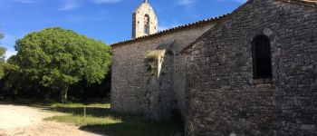
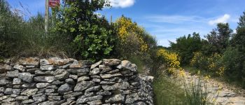
Trail Walking Bourg-Saint-Andéol - boucle chapelle de challon, bourg saint Andeol  - Photo

boucle chapelle de challon, bourg saint Andeol

© OpenStreetMap contributors
Length
Length
21 km
Max alt
Max alt
405 m
Uphill gradient
Uphill gradient
469 m
Km-Effort
Km-Effort  
27 km
Min alt
Min alt
55 m
Downhill gradient
Downhill gradient
468 m
Boucle
Boucle
Yes
Creation date :
2016-06-12 00:00:00.0
Updated on :
2016-06-12 00:00:00.0

(0 Reviews)

Walking
Walking
8h46
Difficulty : Easy

Scan this QR Code to open this trail in the SityTrail application

FREE GPS app for hiking

Logo SityTrail SityTrail

IGN / Geographical institutes

Download SityTrail from the App Store Download SityTrail from Google Play

Logo SityTrail SityTrail World

The world is yours!

Download SityTrail from the App Store Download SityTrail from Google Play Download SityTrail on Huawei AppGallery

About

Trail Walking of 21 km to be discovered at Auvergne-Rhône-Alpes, Ardèche, Bourg-Saint-Andéol. This trail is proposed by sandrineh.

Description

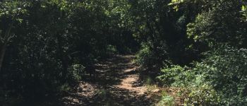
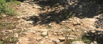
L'allée descend fortement dans un chemin rocailleux. Le retour est en pente plus douce. Prévoir de l'eau pour humain comme animaux. Il fait tres chaud et il n'y a pas de point d'eau.

Elevation profile

Photos

37 photos in total. Please click on a photo to see them all in the gallery.

Points of interest

Point of interest Bourg-Saint-Andéol - Chapelle - Photo
sandrineh
BOURG-SAINT-ANDÉOL 
Point of interest Bourg-Saint-Andéol - chemin  - Photo
sandrineh
BOURG-SAINT-ANDÉOL 
Point of interest Bourg-Saint-Andéol - chemin de cailloux  - Photo
sandrineh
BOURG-SAINT-ANDÉOL 
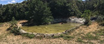
Point of interest Bourg-Saint-Andéol - vers une réserve d'eau - Photo
sandrineh
BOURG-SAINT-ANDÉOL 
Point of interest Bourg-Saint-Andéol - réserve d'eau - Photo
sandrineh
BOURG-SAINT-ANDÉOL 
Point of interest Bourg-Saint-Andéol - suive les traces rouges et blanches chemin de Compostelle  - Photo
sandrineh
BOURG-SAINT-ANDÉOL 
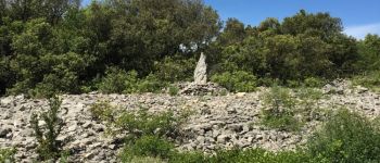
Point of interest Bourg-Saint-Andéol - stèle ? - Photo
sandrineh
BOURG-SAINT-ANDÉOL 
Point of interest Bourg-Saint-Andéol - croisement  - Photo
sandrineh
BOURG-SAINT-ANDÉOL 
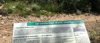
Point of interest Bourg-Saint-Andéol - ruine d'une charbonnière  - Photo
sandrineh
BOURG-SAINT-ANDÉOL 
Point of interest Bourg-Saint-Andéol - pour la chasse ? - Photo
sandrineh
BOURG-SAINT-ANDÉOL 
Point of interest Bourg-Saint-Andéol - plaine de Mias - Photo
sandrineh
BOURG-SAINT-ANDÉOL 
Point of interest Bourg-Saint-Andéol - interdit de truffer :-) - Photo
sandrineh
BOURG-SAINT-ANDÉOL 
Point of interest Bourg-Saint-Andéol - point de vue - Photo
sandrineh
BOURG-SAINT-ANDÉOL 
Point of interest Bourg-Saint-Andéol - lieu-dit La Dauphine - Photo
sandrineh
BOURG-SAINT-ANDÉOL 
Point of interest Bourg-Saint-Andéol - arrivée sur une route - Photo
sandrineh
BOURG-SAINT-ANDÉOL 
Point of interest Bourg-Saint-Andéol - croix en souvenir du soldat Louis Adrien Romanet - Photo
sandrineh
BOURG-SAINT-ANDÉOL 
Point of interest Bourg-Saint-Andéol - croix de Romanet  - Photo
sandrineh
BOURG-SAINT-ANDÉOL 
Point of interest Bourg-Saint-Andéol - bourg de saint Andeol  - Photo
sandrineh
BOURG-SAINT-ANDÉOL 
Point of interest Bourg-Saint-Andéol - marquage du chemin de randonnée ??? - Photo
sandrineh
BOURG-SAINT-ANDÉOL 
Point of interest Bourg-Saint-Andéol - lavoir - Photo
sandrineh
BOURG-SAINT-ANDÉOL 
Point of interest Bourg-Saint-Andéol - plan d'eau  - Photo
sandrineh
BOURG-SAINT-ANDÉOL 
Point of interest Bourg-Saint-Andéol - pont de la voie ferrée  - Photo
sandrineh
BOURG-SAINT-ANDÉOL 
Point of interest Bourg-Saint-Andéol - Seilloux - Photo
sandrineh
BOURG-SAINT-ANDÉOL 
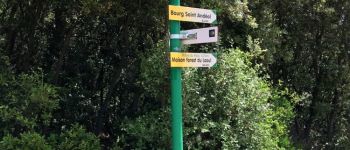
Point of interest Bourg-Saint-Andéol - croisement panneau - Photo
sandrineh
BOURG-SAINT-ANDÉOL 
Point of interest Saint-Marcel-d'Ardèche - la route se transforme en chemin de terre - Photo
sandrineh
SAINT-MARCEL-D'ARDÈCHE 
Point of interest Saint-Marcel-d'Ardèche - tentative de raccourci pour l'église.  - Photo
sandrineh
SAINT-MARCEL-D'ARDÈCHE 
Point of interest Saint-Marcel-d'Ardèche - champ de genêts.  - Photo
sandrineh
SAINT-MARCEL-D'ARDÈCHE 
Point of interest Saint-Marcel-d'Ardèche - champ de lavandes - Photo
sandrineh
SAINT-MARCEL-D'ARDÈCHE 
Point of interest Saint-Marcel-d'Ardèche - lavandes et demi tour - Photo
sandrineh
SAINT-MARCEL-D'ARDÈCHE 
Point of interest Saint-Marcel-d'Ardèche - l'autre bout du champ de lavandes.  - Photo
sandrineh
SAINT-MARCEL-D'ARDÈCHE 
Point of interest Bourg-Saint-Andéol - ruine - Photo
sandrineh
BOURG-SAINT-ANDÉOL 
Point of interest Bourg-Saint-Andéol - ruine  - Photo
sandrineh
BOURG-SAINT-ANDÉOL 
Point of interest Bourg-Saint-Andéol - reprise du tracé.  - Photo
sandrineh
BOURG-SAINT-ANDÉOL 
Point of interest Bourg-Saint-Andéol - citerne  - Photo
sandrineh
BOURG-SAINT-ANDÉOL 
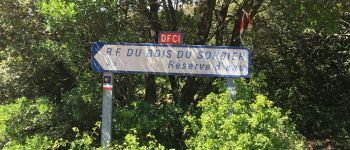
Point of interest Bourg-Saint-Andéol - bois du sorbier. croisement - Photo
sandrineh
BOURG-SAINT-ANDÉOL 
Point of interest Bourg-Saint-Andéol - challon. croisement - Photo
sandrineh
BOURG-SAINT-ANDÉOL 
Point of interest Bourg-Saint-Andéol - terre longue. croisement  - Photo
sandrineh
BOURG-SAINT-ANDÉOL 

Positioning

Country:
France
Region :
Auvergne-Rhône-Alpes
Department/Province :
Ardèche
Municipality :
Bourg-Saint-Andéol
Location:
Unknown
Start:(UTM)
626024 ; 4915580 (31T) N.

Trails nearby

Trail Mountain bike Bourg-Saint-Andéol - st montan  - Photo
Mountain bike
Pascal TERRASSE

Mountain bike

Very easy
(1)
Bourg-Saint-Andéol, Auvergne-Rhône-Alpes, Ardèche, France
29 km | 37 km-effort
2h 16min
Yes
Trail Walking Bourg-Saint-Andéol - laoul - Photo
Walking
07es18

Walking

Very easy
(1)
Bourg-Saint-Andéol, Auvergne-Rhône-Alpes, Ardèche, France
13.6 km | 18.8 km-effort
4h 14min
Yes
Trail Walking Gras - La dent de Rez (Les Hellys) - Photo
Walking
Philindy26

Walking

Medium
Gras, Auvergne-Rhône-Alpes, Ardèche, France
14.3 km | 22 km-effort
3h 45min
Yes
Trail Walking Bourg-Saint-Andéol - boucle chapelle de challon, bourg saint Andeol  - Photo
Walking
sandrineh

Walking

Easy
Bourg-Saint-Andéol, Auvergne-Rhône-Alpes, Ardèche, France
21 km | 27 km-effort
8h 46min
Yes
Trail Walking Bourg-Saint-Andéol - maison forestière de la laoul - Photo
Walking
Vero7684

Walking

Medium
Bourg-Saint-Andéol, Auvergne-Rhône-Alpes, Ardèche, France
13.9 km | 17.1 km-effort
4h 24min
Yes
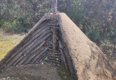
Trail Walking Bidon - bidon vs2 - Photo
Walking
GOIOLIRIBES

Walking

Very difficult
Bidon, Auvergne-Rhône-Alpes, Ardèche, France
15.9 km | 19.1 km-effort
5h 37min
Yes
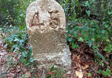
Trail Walking Bidon - dolmen de p - Photo
Walking
Lucien84

Walking

Very easy
Bidon, Auvergne-Rhône-Alpes, Ardèche, France
10 km | 12.2 km-effort
2h 55min
Yes
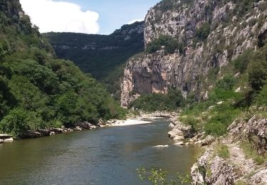
Trail Walking Bidon - St MARCEL Gorgés court8 - Photo
Walking
Dominique84

Walking

Very difficult
Bidon, Auvergne-Rhône-Alpes, Ardèche, France
15.5 km | 21 km-effort
6h 25min
Yes
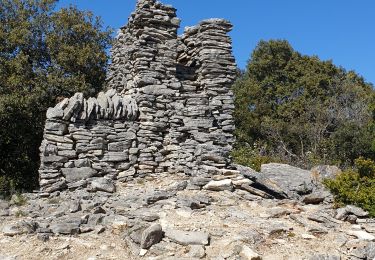
Trail Walking Bidon - Dolmen bodon - Photo
Walking
Cricounet84

Walking

Medium
Bidon, Auvergne-Rhône-Alpes, Ardèche, France
24 km | 30 km-effort
8h 56min
Yes


Close
My subscriptions