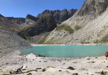
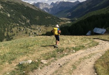
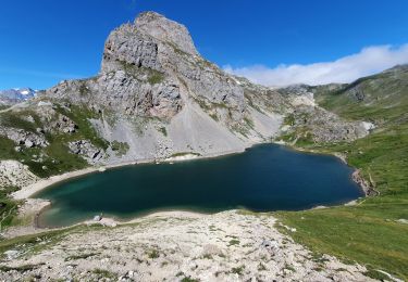
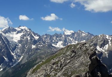
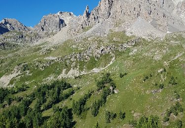
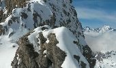
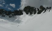
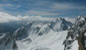
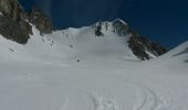
Trail Other activity Névache - Pointe des Cerces . Circuit du lac rouge - Photo

Pointe des Cerces . Circuit du lac rouge

 nadd73
nadd73

User GUIDE

© OpenStreetMap contributors
Length
Length
13.5 km
Max alt
Max alt
3071 m
Uphill gradient
Uphill gradient
1370 m
Km-Effort
Km-Effort  
32 km
Min alt
Min alt
2021 m
Downhill gradient
Downhill gradient
1369 m
Boucle
Boucle
Yes
Creation date :
2016-06-07 00:00:00.0
Updated on :
2016-06-07 00:00:00.0

(0 Reviews)

Other activity
Other activity
7h53
Difficulty : Difficult

Scan this QR Code to open this trail in the SityTrail application

FREE GPS app for hiking

Logo SityTrail SityTrail

IGN / Geographical institutes

Download SityTrail from the App Store Download SityTrail from Google Play

Logo SityTrail SityTrail World

The world is yours!

Download SityTrail from the App Store Download SityTrail from Google Play Download SityTrail on Huawei AppGallery

About

Trail Other activity of 13.5 km to be discovered at Provence-Alpes-Côte d'Azur, Hautes-Alpes, Névache. This trail is proposed by nadd73.

Description

Départ du dernier  parking  sur la route  des Drayères.
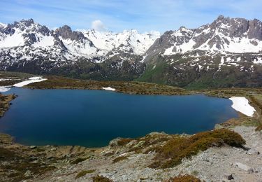
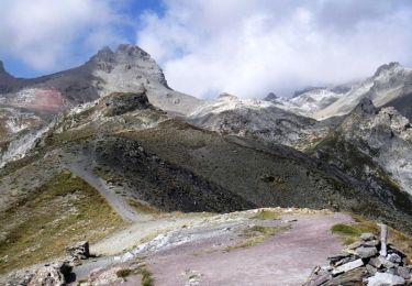
Passer la passerelle à  gauche et monter au lac des Béraudes. suivre itinéraire Gps  ..mais il est préférable de monter la face centrale et finir à  pieds, sinon fine arête donc crampons et piolet .
A cette période  partir tôt  car c'est  une face sud.
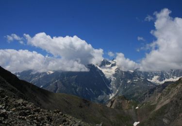
Sinon très belles montagnes majestueuses.

Elevation profile

Photos

Positioning

Country:
France
Region :
Provence-Alpes-Côte d'Azur
Department/Province :
Hautes-Alpes
Municipality :
Névache
Location:
Unknown
Start:(UTM)
305207 ; 4992507 (32T) N.

Trails nearby

Trail Walking Névache - Briançonnais Lac du Serpent - Photo
Walking
GUIDE
Orcal37

Walking

Medium
(2)
Névache, Provence-Alpes-Côte d'Azur, Hautes-Alpes, France
10 km | 18 km-effort
3h 10min
Yes
Trail Walking Névache - Col du Chardonnet - Névache - Photo
Walking
tracegps

Walking

Medium
(3)
Névache, Provence-Alpes-Côte d'Azur, Hautes-Alpes, France
12.3 km | 23 km-effort
4h 0min
Yes
Trail Walking Le Monêtier-les-Bains - Le Grand Lac - Photo
Walking
tracegps

Walking

Difficult
(2)
Le Monêtier-les-Bains, Provence-Alpes-Côte d'Azur, Hautes-Alpes, France
5.2 km | 12.8 km-effort
5h 0min
No
Trail Walking Le Monêtier-les-Bains - 05 col ponsonniere - Photo
Walking
GUIDE
randodyssée

Walking

Medium
Le Monêtier-les-Bains, Provence-Alpes-Côte d'Azur, Hautes-Alpes, France
14.4 km | 27 km-effort
6h 25min
No
Trail Walking Névache - Beraudes  - Photo
Walking
GUIDE
jouans

Walking

Medium
Névache, Provence-Alpes-Côte d'Azur, Hautes-Alpes, France
11.1 km | 22 km-effort
6h 33min
No
Trail Walking Névache - Col roche noire  - Photo
Walking
GUIDE
jouans

Walking

Difficult
Névache, Provence-Alpes-Côte d'Azur, Hautes-Alpes, France
17.1 km | 31 km-effort
6h 37min
Yes
Trail Walking Le Monêtier-les-Bains - l'aiguillette du Lauzet par le grand lac - Photo
Walking
GUIDE
amiral13

Walking

Difficult
Le Monêtier-les-Bains, Provence-Alpes-Côte d'Azur, Hautes-Alpes, France
13.8 km | 29 km-effort
8h 39min
Yes
Trail Via ferrata Le Monêtier-les-Bains - Via ferrata Aiguillette du Lauzet 30/06/18 - Photo
Via ferrata
GUIDE
R@ph

Via ferrata

Medium
Le Monêtier-les-Bains, Provence-Alpes-Côte d'Azur, Hautes-Alpes, France
9.5 km | 21 km-effort
2h 30min
Yes
Trail Walking Névache - la roche du Chardonnet - Photo
Walking
GUIDE
amiral13

Walking

Medium
Névache, Provence-Alpes-Côte d'Azur, Hautes-Alpes, France
16.6 km | 29 km-effort
7h 26min
Yes


Close
My subscriptions