


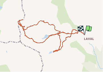

10 km | 18 km-effort

User GUIDE


FREE GPS app for hiking
 SityTrail
IGN / Geographical institutes
SityTrail World
The world is yours!
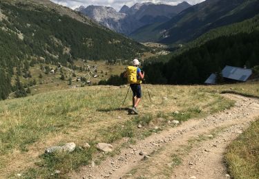
Trail Other activity of 13.5 km to be discovered at Provence-Alpes-Côte d'Azur, Hautes-Alpes, Névache. This trail is proposed by nadd73.
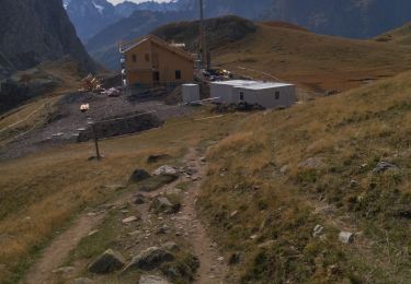
Départ du dernier parking sur la route des Drayères.
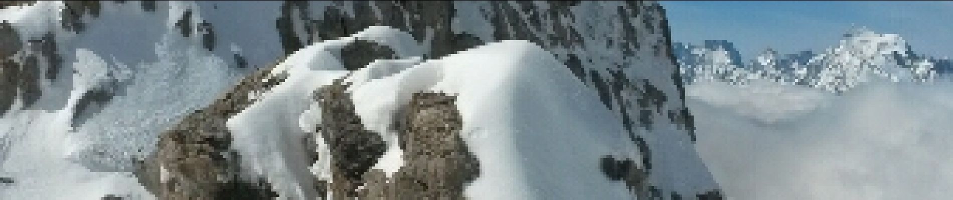
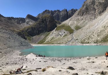
Passer la passerelle à gauche et monter au lac des Béraudes. suivre itinéraire Gps ..mais il est préférable de monter la face centrale et finir à pieds, sinon fine arête donc crampons et piolet .
A cette période partir tôt car c'est une face sud.
Sinon très belles montagnes majestueuses.


Walking

Walking

Walking
Walking
Walking
Walking

Walking

Via ferrata

Walking