


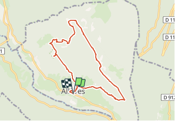

10.5 km | 18.5 km-effort


User GUIDE


FREE GPS app for hiking
 SityTrail
IGN / Geographical institutes
SityTrail World
The world is yours!
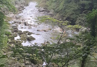
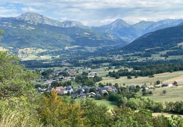
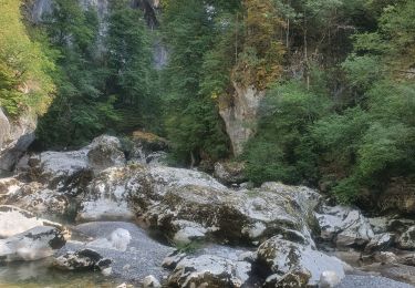
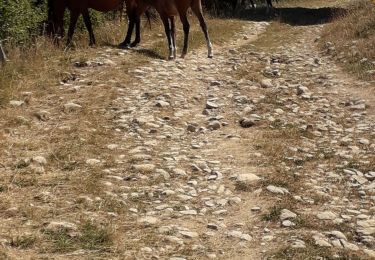
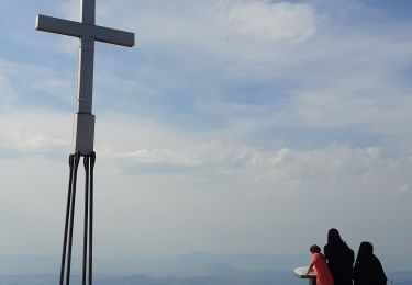
Trail Walking of 10.7 km to be discovered at Auvergne-Rhône-Alpes, Upper Savoy, Allèves. This trail is proposed by rvapeldo.
Une promenade qui débute par une longue et douce montée vers les pâturages et les baraques. Elle passe par le hameau Henri et sa jolie chapelle (contestée). Et termine par les tours St Jacques et la vue sur la vallée.
Walking
Walking
Walking
Walking

Walking
Walking
Walking
Walking
Walking