


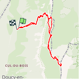

13.1 km | 24 km-effort


User GUIDE


FREE GPS app for hiking
 SityTrail
IGN / Geographical institutes
SityTrail World
The world is yours!
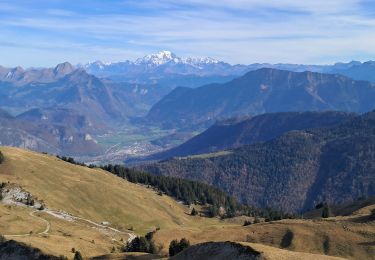
Trail Walking of 14.4 km to be discovered at Auvergne-Rhône-Alpes, Savoy, Doucy-en-Bauges. This trail is proposed by rvapeldo.
Une classique... Le montée au Trelod, l'un des sommet des Bauges. Il s'agit de la version aller-retour par le meme chemin, avec des variantes possible entre la dent de la Porte et le début du sentier qui serpente vers la sommet du Trelod. Il y a plusieurs possibilités de chemins de crêtes. Il y a aussi moyen de faire une boucle en partant, après le sommet du Trelod, vers le sud.

Walking

Walking
Walking
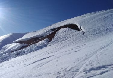
Touring skiing

Touring skiing

Walking
Walking

Walking
Walking
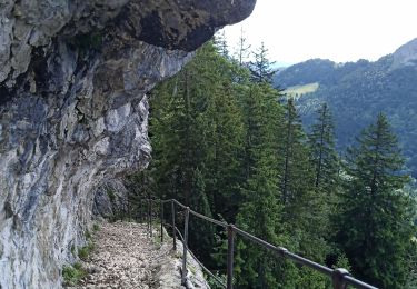
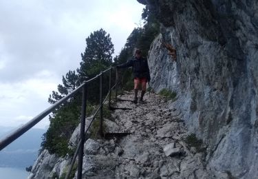
vues splendides