


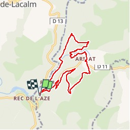

14.4 km | 20 km-effort


User


FREE GPS app for hiking
 SityTrail
IGN / Geographical institutes
SityTrail World
The world is yours!
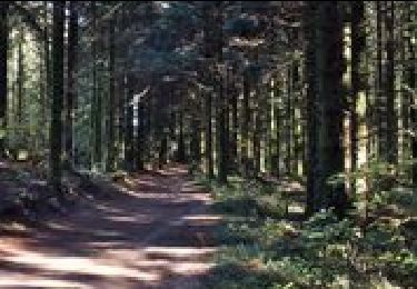
Trail Walking of 8.7 km to be discovered at Occitania, Tarn, Arifat. This trail is proposed by jpipacific.
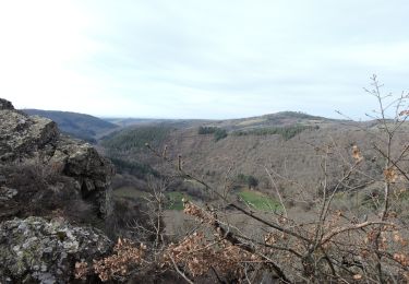
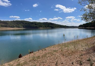
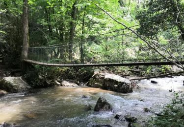
Belle randonnée avec de bons dénivelés. Passage du pont des cascades par un pont suspendu très sympa. La fin du parcours se fait dans une exploitation forestière très boueuse et chemin défoncé par des engins. Il vaut mieux prévoir un autre parcours après la route avant Cadarlés.
Walking
Walking
Walking
Walking

Mountain bike

Walking

Electric bike
Walking
Walking