


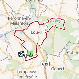

17.7 km | 18.7 km-effort


User


FREE GPS app for hiking
 SityTrail
IGN / Geographical institutes
SityTrail World
The world is yours!
Trail Walking of 15 km to be discovered at Hauts-de-France, Nord, Templeuve-en-Pévèle. This trail is proposed by camino59.
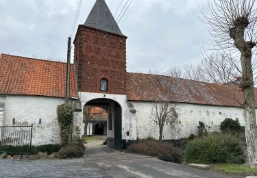
Départ du Moulin de vertain à Templeuve. Rejoindre les marais de Peronne en Mélentois puis vous diriger vers Cysoing en passant par le cimetière de Louvil. Retour au point de départ par le hameau de bois le ville.

Equestrian

Walking

Walking

Walking

Walking

Walking
Walking
Walking
Walking