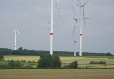
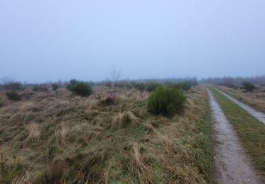
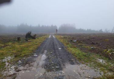
22 km | 26 km-effort
langlire 29-05-2016
albertojp
User
Length
4.6 km
Max alt
545 m
Uphill gradient
67 m
Km-Effort
5.5 km
Min alt
491 m
Downhill gradient
68 m
Boucle
Yes
Creation date :
2016-07-04 00:00:00.0
Updated on :
2016-07-04 00:00:00.0
1h25
Difficulty : Easy
FREE GPS app for hiking
About
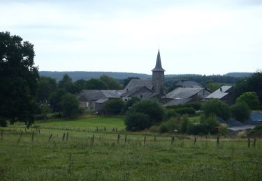
Trail Walking of 4.6 km to be discovered at Wallonia, Luxembourg, Gouvy. This trail is proposed by albertojp.
Positioning
Country:
Belgium
Region :
Wallonia
Department/Province :
Luxembourg
Municipality :
Gouvy
Location:
Montleban
Start:(Dec)
Start:(UTM)
702895 ; 5568119 (31U) N.
Comments
Trails nearby
O2bikers_151_petit_sart
Mountain bike
Very easy
(1)
Lierneux,
Wallonia,
Liège,
Belgium
38 km | 50 km-effort
6h 44min
Yes
Balade à Salmchateau
Walking
Difficult
Vielsalm,
Wallonia,
Luxembourg,
Belgium
9.8 km | 13.4 km-effort
3h 2min
Yes
20220504 - TOTEMUS Salmchateau 4.3 Km
Walking
Medium
Vielsalm,
Wallonia,
Luxembourg,
Belgium
4.2 km | 5.4 km-effort
1h 36min
Yes
Vielsalm jaune
On foot
Easy
(2)
Vielsalm,
Wallonia,
Luxembourg,
Belgium
9.7 km | 13.7 km-effort
3h 7min
Yes
RB-Lu-29_Courtil_variante
Walking
Very difficult
(1)
Gouvy,
Wallonia,
Luxembourg,
Belgium
28 km | 34 km-effort
7h 47min
Yes
RB-Lu-29_Courtil_via-racc
Walking
Difficult
Gouvy,
Wallonia,
Luxembourg,
Belgium
15.3 km | 18.8 km-effort
4h 16min
Yes