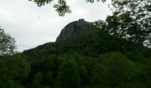
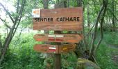
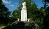
Trail Walking Roquefixade - 02 - ROQUEFIXADE à MONTSEGUR -  Chemin des Bons-Hommes GR107 ou sentier cathare 367 - Photo

02 - ROQUEFIXADE à MONTSEGUR - Chemin des Bons-Hommes GR107 ou sentier cathare 367

 jopost
jopost

User

© OpenStreetMap contributors
Length
Length
15.4 km
Max alt
Max alt
1064 m
Uphill gradient
Uphill gradient
768 m
Km-Effort
Km-Effort  
25 km
Min alt
Min alt
584 m
Downhill gradient
Downhill gradient
494 m
Boucle
Boucle
No
Creation date :
2016-12-17 00:00:00.0
Updated on :
2020-10-20 18:53:04.528

(0 Reviews)

Walking
Walking
5h18
Difficulty : Medium

Scan this QR Code to open this trail in the SityTrail application

FREE GPS app for hiking

Logo SityTrail SityTrail
IGN / Geographical institutes

Download SityTrail from the App Store Download SityTrail from Google Play

Logo SityTrail SityTrail World
The world is yours!

Download SityTrail from the App Store Download SityTrail from Google Play Download SityTrail on Huawei AppGallery

About

Trail Walking of 15.4 km to be discovered at Occitania, Ariège, Roquefixade. This trail is proposed by jopost.

Description

Voici la 2ème étape du Chemin des Bons-Hommes GR107 ou du Sentier Cathare  GR367
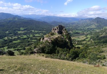
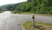
Entre deux châteaux mythiques Roquefixade et Montségur, le sentier est balisé rouge-blanc pour le Gr107-367,  attention à la traversée de la Départementale puis vous remontez vers Montferrier et continuez jusqu'au col de Ségalas, vous aurez le château de Montségur à votre gauche, visite possible avec le musée au village.
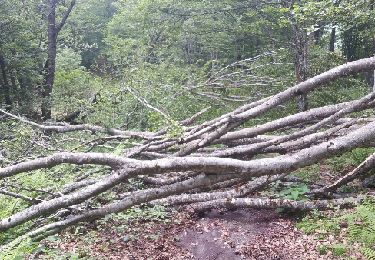
pas de difficulté, deux montées pas mal

Elevation profile

Photos

Points of interest

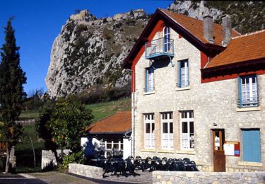
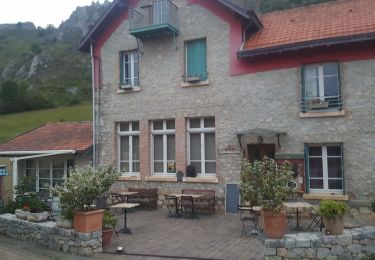
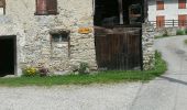
Point of interest Roquefixade - 9h15 lieu dit 'Rambert - Photo
jopost
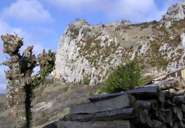
Point of interest Roquefixade - 9h40 - Photo
jopost
ROQUEFIXADE 
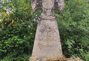
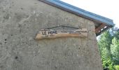
Point of interest Montferrier - 10h26 Le Pépié 596m env - Photo
jopost
Point of interest Montferrier - 11h05 au loin Roquefixade - Photo
jopost
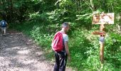
Point of interest Montferrier - 11h15 passage barrière - Photo
jopost
Point of interest Montferrier - 11h25 Le Sau - Photo
jopost
MONTFERRIER 
Point of interest Montferrier - 12h12  - Photo
jopost
MONTFERRIER 
Point of interest Montferrier - 12h16 passage
jopost
Point of interest Montségur - 13h21 arrivée D9 - Photo
jopost
MONTSÉGUR 
Point of interest Montségur - 13h42 arrivée - Photo
jopost
MONTSÉGUR 
Point of interest Roquefixade - départ 08h55 - Photo
jopost
ROQUEFIXADE 
Point of interest Montferrier - 12h27 arrête repas - Photo
jopost
MONTFERRIER 

Positioning

Country:
France
Region :
Occitania
Department/Province :
Ariège
Municipality :
Roquefixade
Location:
Unknown
Start:(UTM)
398455 ; 4754413 (31T) N.

Trails nearby

Trail Walking Roquefixade - Le tour de Roquefixade - Photo
Walking
tracegps

Walking

Easy
(1)
Roquefixade, Occitania, Ariège, France
6.5 km | 10 km-effort
1h 30min
Yes
Trail Walking Roquefixade - roquefixade  - Photo
Walking
cappelle

Walking

Easy
Roquefixade, Occitania, Ariège, France
7.4 km | 10.8 km-effort
4h 0min
Yes
Trail On foot Roquefixade - Randonnée à Roquefixade - Photo
On foot
GUIDE+

On foot

Easy
Roquefixade, Occitania, Ariège, France
3.7 km | 6.6 km-effort
1h 30min
Yes
Trail Walking Roquefort-les-Cascades - Roqufixade  - Photo
Walking
caccini

Walking

Very difficult
Roquefort-les-Cascades, Occitania, Ariège, France
12.5 km | 22 km-effort
4h 53min
Yes
Trail Coupling Roquefixade - Cathare Fin Roquefixade. Foix - Photo
Coupling
jeff2

Coupling

Difficult
Roquefixade, Occitania, Ariège, France
21 km | 30 km-effort
4h 24min
No
Trail Walking Sautel - orrit avec Michel et tony 180419 - Photo
Walking
jopost

Walking

Easy
Sautel, Occitania, Ariège, France
4.3 km | 5.8 km-effort
1h 14min
No
Trail Walking Freychenet - Col de la Lauze - Le Fourcat (2001m) - Photo
Walking
jopost

Walking

Difficult
Freychenet, Occitania, Ariège, France
20 km | 37 km-effort
4h 3min
Yes
Trail Mountain bike Montferrier - Montferrier-Mines de Moulzone-Montségur - Photo
Mountain bike
patpat09

Mountain bike

Difficult
Montferrier, Occitania, Ariège, France
24 km | 39 km-effort
4h 32min
Yes
Trail Mountain bike Montferrier - Montferrier-Mines de Moulzone-Montségur - Photo
Mountain bike
patpat09

Mountain bike

Difficult
Montferrier, Occitania, Ariège, France
24 km | 39 km-effort
4h 32min
Yes


Close
My subscriptions