


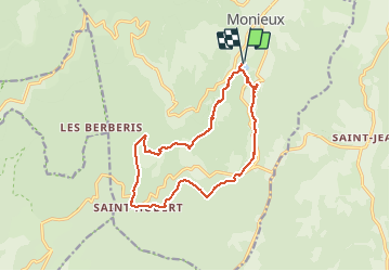

11.9 km | 19.1 km-effort

User


FREE GPS app for hiking
 SityTrail
IGN / Geographical institutes
SityTrail World
The world is yours!
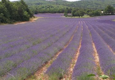
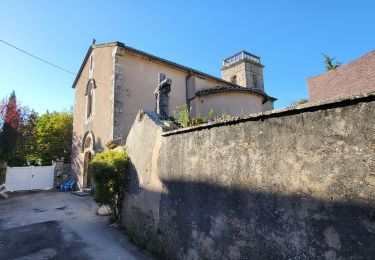
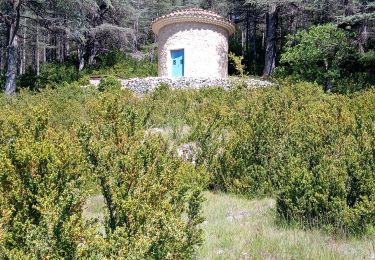
Trail Walking of 15 km to be discovered at Provence-Alpes-Côte d'Azur, Vaucluse, Monieux. This trail is proposed by SabetMick.
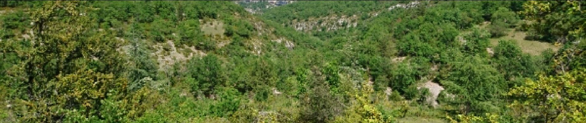
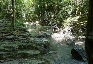
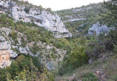
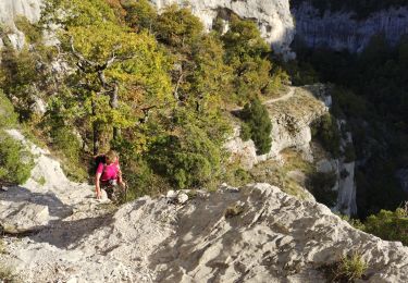
Randonnée sympathique avec quelques jolis panoramas. D'agréables chemins ombragés. On aperçoit les gorges de la Nesque sans jamais vraiment y aller...


Walking
Walking
Mountain bike
Walking
Walking
Walking
Walking
Walking
Walking