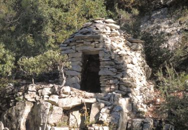
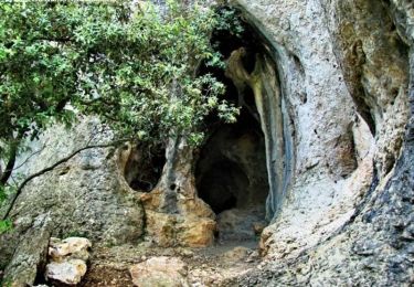
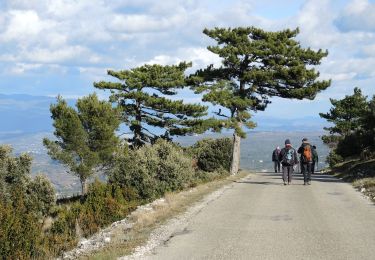
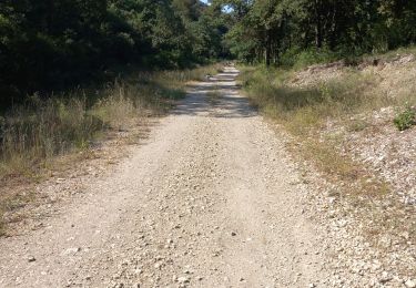
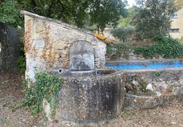
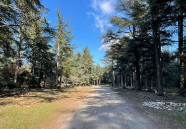
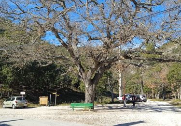
Trail Mountain bike Lauris - Luberon - Grande Traversée de Vaucluse via Le Luberon - de Lauris à Maubec - Photo

Luberon - Grande Traversée de Vaucluse via Le Luberon - de Lauris à Maubec

Randonnées de Vélo Loisir Provence GUIDE+

© OpenStreetMap contributors
Length
Length
24 km
Max alt
Max alt
722 m
Uphill gradient
Uphill gradient
761 m
Km-Effort
Km-Effort  
34 km
Min alt
Min alt
142 m
Downhill gradient
Downhill gradient
870 m
Boucle
Boucle
No
Creation date :
2016-05-25 00:00:00.0
Updated on :
2016-05-25 00:00:00.0

(1 Reviews)

Mountain bike
Mountain bike
2h13
Difficulty : Difficult

Scan this QR Code to open this trail in the SityTrail application

FREE GPS app for hiking

Logo SityTrail SityTrail

IGN / Geographical institutes

Download SityTrail from the App Store Download SityTrail from Google Play

Logo SityTrail SityTrail World

The world is yours!

Download SityTrail from the App Store Download SityTrail from Google Play Download SityTrail on Huawei AppGallery

About

Trail Mountain bike of 24 km to be discovered at Provence-Alpes-Côte d'Azur, Vaucluse, Lauris. This trail is proposed by Vélo Loisir Provence.

Elevation profile

Positioning

Country:
France
Region :
Provence-Alpes-Côte d'Azur
Department/Province :
Vaucluse
Municipality :
Lauris
Location:
Unknown
Start:(UTM)
685166 ; 4849090 (31T) N.

Comments

Please log in to post a review or rate the element


Trails nearby

Trail Walking Bonnieux - Forêt de Cêdre - Roque des Bancs - Baume Rousse - Grottes de Font Scure et des Vaudois - Le Portalas  - Photo
Walking
tracegps

Walking

Medium
(5)
Bonnieux, Provence-Alpes-Côte d'Azur, Vaucluse, France
9.3 km | 14.2 km-effort
4h 0min
Yes
Trail On foot Bonnieux - Rando2 foret-des-cedres-bonnieux-2021 - Photo
On foot
ramille

On foot

Medium
(1)
Bonnieux, Provence-Alpes-Côte d'Azur, Vaucluse, France
14.8 km | 24 km-effort
5h 28min
Yes
Trail Walking Lauris - reco lauris tp - Photo
Walking
mdtp

Walking

Medium
Lauris, Provence-Alpes-Côte d'Azur, Vaucluse, France
8.5 km | 12.7 km-effort
2h 25min
Yes
Trail On foot Lourmarin - Lourmarin - Cadenet - Lourmarin  - Photo
On foot
Dadou 1

On foot

Easy
Lourmarin, Provence-Alpes-Côte d'Azur, Vaucluse, France
11.5 km | 14.6 km-effort
3h 19min
Yes
Trail Mountain bike Lauris - GTVAU-J7 variante - Photo
Mountain bike
PhilippeC54

Mountain bike

Very easy
(1)
Lauris, Provence-Alpes-Côte d'Azur, Vaucluse, France
47 km | 65 km-effort
Unknown
No
Trail Walking Bonnieux - 84 Bonnieux circuits des cédres 4.1km 107m - Photo
Walking
SyMA

Walking

Very easy
Bonnieux, Provence-Alpes-Côte d'Azur, Vaucluse, France
4.1 km | 5.6 km-effort
1h 59min
Yes
Trail Walking Lauris - PF-Lauris - Circuit de Recaute - Photo
Walking
MicDul

Walking

Medium
(1)
Lauris, Provence-Alpes-Côte d'Azur, Vaucluse, France
6 km | 8.6 km-effort
2h 28min
Yes
Trail Other activity Bonnieux - Daniel et René - Photo
Other activity
derrives

Other activity

Very easy
Bonnieux, Provence-Alpes-Côte d'Azur, Vaucluse, France
80 km | 116 km-effort
9h 40min
No
Trail Walking Bonnieux - PF-Bonnieux - De la Sanguinette à la Roque des Bancs - Photo
Walking
MicDul

Walking

Difficult
Bonnieux, Provence-Alpes-Côte d'Azur, Vaucluse, France
9.2 km | 13.7 km-effort
2h 57min
Yes


Close
My subscriptions