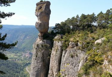
10.1 km | 18.8 km-effort
VTT causse noir St Andre Vezines
ZITO12
User
Length
32 km
Max alt
994 m
Uphill gradient
634 m
Km-Effort
40 km
Min alt
786 m
Downhill gradient
644 m
Boucle
Yes
Creation date :
2016-05-22 00:00:00.0
Updated on :
2016-05-22 00:00:00.0
--
Difficulty : Easy
FREE GPS app for hiking
About
Trail Mountain bike of 32 km to be discovered at Occitania, Aveyron, Saint-André-de-Vézines. This trail is proposed by ZITO12.
Positioning
Country:
France
Region :
Occitania
Department/Province :
Aveyron
Municipality :
Saint-André-de-Vézines
Location:
Unknown
Start:(Dec)
Start:(UTM)
520581 ; 4888880 (31T) N.
Comments
Trails nearby
12 vase de Sèvres Chine ch. brunet
Walking
Medium
(1)
Le Rozier,
Occitania,
Lozère,
France
5h 40min
Yes
Causse et gorges au pays des vautours
Walking
Difficult
Le Rozier,
Occitania,
Lozère,
France
27 km | 40 km-effort
7h 48min
No
12 chaos Montpellier le vx roquesaltes
Walking
Medium
La Roque-Sainte-Marguerite,
Occitania,
Aveyron,
France
19.6 km | 29 km-effort
7h 38min
Yes
Grands Causses - Peyreleau - Corniches du Causse Noir- 2016 09 06
Walking
Difficult
Peyreleau,
Occitania,
Aveyron,
France
12.5 km | 21 km-effort
6h 40min
Yes
J3 St Jean des Balmes Ermitage St Michel
Walking
Easy
(2)
Veyreau,
Occitania,
Aveyron,
France
9.6 km | 13.9 km-effort
3h 18min
Yes
Grands Causses - Gorges de la Jonte - Peyreleau
Walking
Easy
Peyreleau,
Occitania,
Aveyron,
France
9 km | 12.9 km-effort
3h 25min
Yes
Grands Causses - Causse Méjean - Vautours
Walking
Difficult
Le Rozier,
Occitania,
Lozère,
France
12.5 km | 23 km-effort
4h 50min
Yes
Sur Les Hauteurs De Peyreleau
Walking
Difficult
(2)
Le Rozier,
Occitania,
Lozère,
France
10.4 km | 18.2 km-effort
4h 0min
Yes
Le 815 - Peyreleau
Walking
Easy
(1)
Peyreleau,
Occitania,
Aveyron,
France
5.5 km | 10.5 km-effort
2h 0min
Yes