


22 km | 29 km-effort

User GUIDE


FREE GPS app for hiking
 SityTrail
IGN / Geographical institutes
SityTrail World
The world is yours!
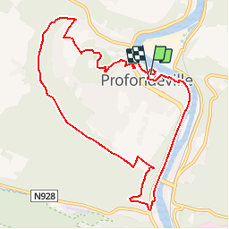
Trail Walking of 9.4 km to be discovered at Wallonia, Namur, Profondeville. This trail is proposed by Desrumaux.
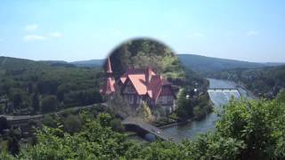
Charmante balade sur les pittoresques sentiers des bois de la petite et grande Hulle avec de magnifiques panoramas sue la vallée mosane.
Départ : Eglise de Profondeville


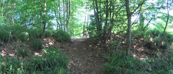
Walking

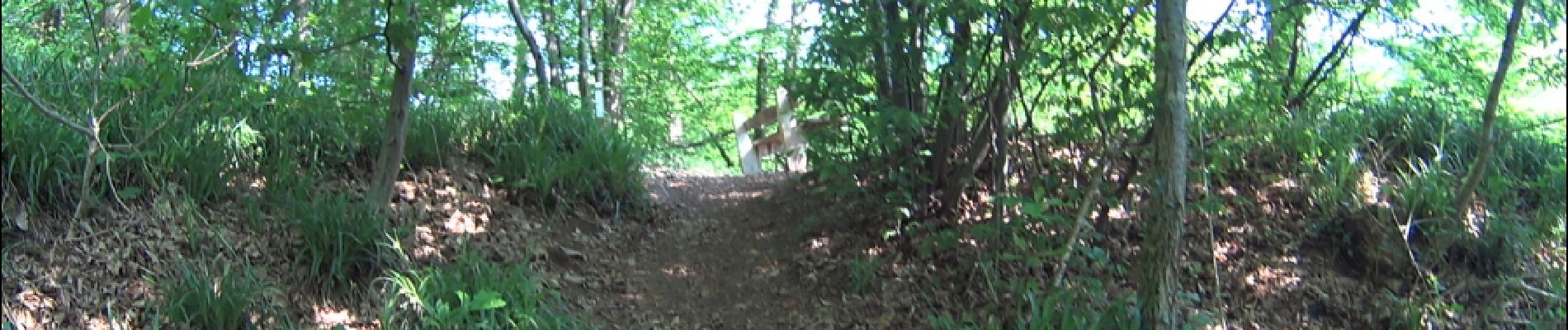
Walking

Walking

Walking

Walking

Walking

Walking

Walking

Walking