Trail Walking Bargemon - Bargemon-Favas-reco - Photo
 Sugg
Sugg

User

© OpenStreetMap contributors
Length
Length
17.6 km
Max alt
Max alt
822 m
Uphill gradient
Uphill gradient
586 m
Km-Effort
Km-Effort  
25 km
Min alt
Min alt
494 m
Downhill gradient
Downhill gradient
585 m
Boucle
Boucle
Yes
Creation date :
2019-03-22 16:59:11.622
Updated on :
2019-03-22 16:59:11.706

(0 Reviews)

Walking
Walking
5h24
Difficulty : Difficult

Scan this QR Code to open this trail in the SityTrail application

FREE GPS app for hiking

Logo SityTrail SityTrail

IGN / Geographical institutes

Download SityTrail from the App Store Download SityTrail from Google Play

Logo SityTrail SityTrail World

The world is yours!

Download SityTrail from the App Store Download SityTrail from Google Play Download SityTrail on Huawei AppGallery

About

Trail Walking of 17.6 km to be discovered at Provence-Alpes-Côte d'Azur, Var, Bargemon. This trail is proposed by Sugg.

Description

Reco du 13 mai 2016 avec Marcel.
Je supprimerai la boucle finale à l'EST, trop dur et délicate avec le groupe.
il restera environ 16 kms.
Il y a quelques passages assez " musclés ".
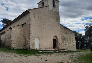
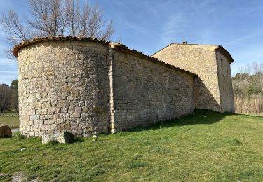
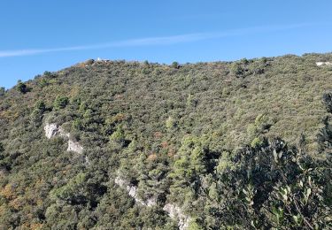
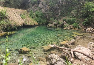
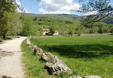
De beaux points de vue sur le camp de canjuers au Nord, et la mer et le rocher de Roquebrune au Sud.


Elevation profile

Positioning

Country:
France
Region :
Provence-Alpes-Côte d'Azur
Department/Province :
Var
Municipality :
Bargemon
Location:
Unknown
Start:(UTM)
299796 ; 4832986 (32T) N.

Trails nearby

Trail Walking Figanières - château château de château de la garde - Photo
Walking
ninia

Walking

Very easy
(1)
Figanières, Provence-Alpes-Côte d'Azur, Var, France
9.2 km | 11.9 km-effort
2h 48min
Yes
Trail Walking Callas - Callas- Autour de la Chapelle Saint-Auxile - Photo
Walking
Chantheys

Walking

Medium
Callas, Provence-Alpes-Côte d'Azur, Var, France
6.4 km | 9.5 km-effort
2h 9min
Yes
Trail Walking Callas - Callas fait  - Photo
Walking
ETMU5496

Walking

Medium
Callas, Provence-Alpes-Côte d'Azur, Var, France
20 km | 31 km-effort
6h 55min
Yes
Trail Walking Montferrat - La double Borie et le Beaudron . Montferrat - Photo
Walking
boulinevelyne

Walking

Difficult
(1)
Montferrat, Provence-Alpes-Côte d'Azur, Var, France
9.1 km | 14.3 km-effort
3h 15min
Yes
Trail sport Montferrat - M’ingérât - Photo
sport
jaflo

sport

Very easy
Montferrat, Provence-Alpes-Côte d'Azur, Var, France
11.6 km | 17.2 km-effort
Unknown
Yes
Trail Walking Montferrat - 20-06-2023 Pierrepont  - Photo
Walking
GUIDE
Kargil

Walking

Easy
Montferrat, Provence-Alpes-Côte d'Azur, Var, France
12.4 km | 18.3 km-effort
4h 8min
Yes
Trail Walking Claviers - Claviers - St Arnoux - Photo
Walking
ETMU5496

Walking

Medium
Claviers, Provence-Alpes-Côte d'Azur, Var, France
18 km | 26 km-effort
4h 2min
Yes
Trail Walking Bargemon - Les bois de Favas et de Coste Rousse 2 - Photo
Walking
boulinevelyne

Walking

Medium
Bargemon, Provence-Alpes-Côte d'Azur, Var, France
11.7 km | 17.2 km-effort
3h 43min
Yes
Trail Walking Bargemon - Bargemon - ND - Ste Anne de Claviers - Chapelle St Arnoux - Photo
Walking
LtZIP

Walking

Easy
Bargemon, Provence-Alpes-Côte d'Azur, Var, France
19.9 km | 29 km-effort
4h 29min
Yes


Close
My subscriptions