31 km | 36 km-effort
Chaumont- 52
gimbretb
User
Length
15.1 km
Max alt
426 m
Uphill gradient
154 m
Km-Effort
17.1 km
Min alt
347 m
Downhill gradient
154 m
Boucle
Yes
Creation date :
2016-05-15 00:00:00.0
Updated on :
2016-05-15 00:00:00.0
3h28
Difficulty : Easy
FREE GPS app for hiking
About
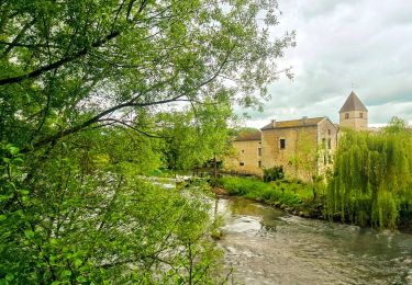
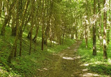
Trail Walking of 15.1 km to be discovered at Grand Est, Haute-Marne, Chamarandes-Choignes. This trail is proposed by gimbretb.
Description
Départ ferme des Rieppes- sur RN 74
Positioning
Country:
France
Region :
Grand Est
Department/Province :
Haute-Marne
Municipality :
Chamarandes-Choignes
Location:
Unknown
Start:(Dec)
Start:(UTM)
663108 ; 5331804 (31U) N.
Comments
Trails nearby
Boucle 31 km autour de Chaumont
Walking
Very difficult
Chaumont,
Grand Est,
Haute-Marne,
France
6h 35min
Yes
Corgebin Ferme_La_Borde Neuilly s/ Suize
Mountain bike
Very easy
(1)
Chaumont,
Grand Est,
Haute-Marne,
France
20 km | 24 km-effort
Unknown
Yes
Chaumont centre-Verbiesles-Ville aux bois-Chaumont
Walking
Difficult
Chaumont,
Grand Est,
Haute-Marne,
France
21 km | 24 km-effort
4h 18min
Yes
Corgebin 24 11 2019
Mountain bike
(1)
Chaumont,
Grand Est,
Haute-Marne,
France
26 km | 31 km-effort
3h 9min
Yes
trex 2014
Mountain bike
Medium
(1)
Treix,
Grand Est,
Haute-Marne,
France
39 km | 47 km-effort
3h 4min
Yes
Chaumont, val barizien, st rock
Nordic walking
Very easy
Chaumont,
Grand Est,
Haute-Marne,
France
7.7 km | 9.6 km-effort
1h 36min
Yes
Laville aux bois
Walking
Easy
Laville-aux-Bois,
Grand Est,
Haute-Marne,
France
7.4 km | 8.9 km-effort
1h 50min
Yes
rando galette 2024 des 1000 pattes
Walking
Easy
Chaumont,
Grand Est,
Haute-Marne,
France
6.8 km | 8.4 km-effort
1h 57min
Yes