


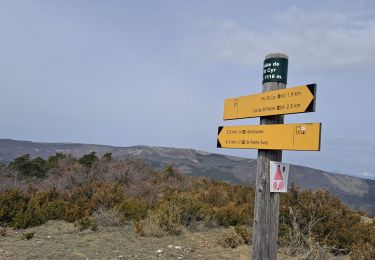
11 km | 17.2 km-effort

User


FREE GPS app for hiking
 SityTrail
IGN / Geographical institutes
SityTrail World
The world is yours!
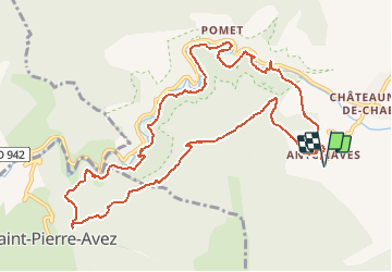
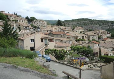
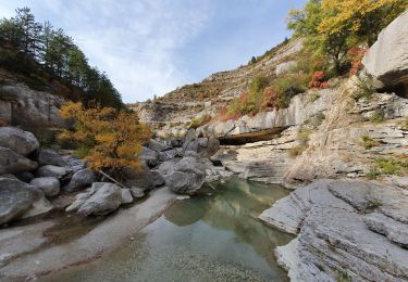
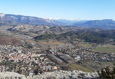
Trail Walking of 13.5 km to be discovered at Provence-Alpes-Côte d'Azur, Hautes-Alpes, Val-Buëch-Méouge. This trail is proposed by margotte.
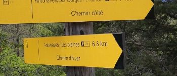
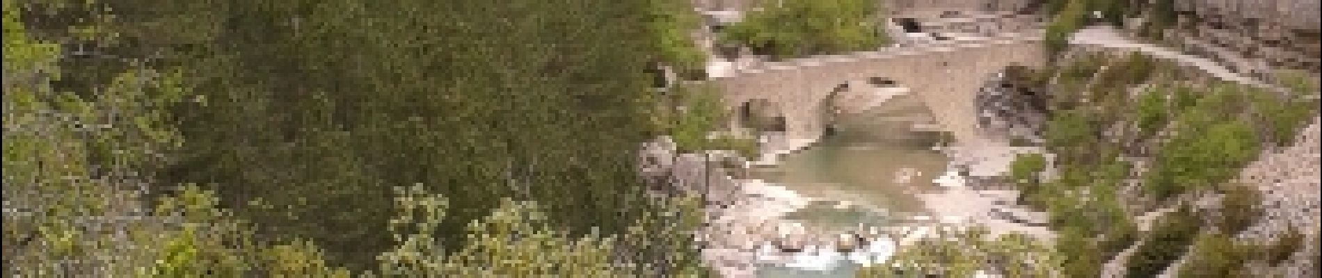
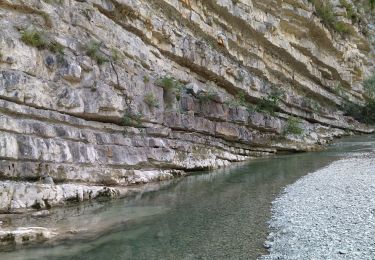
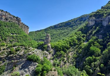
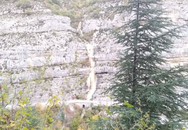
Départ de la rando à Antonaves. Sentier sympa jusqu'au pont Roman. La suite et quelquefois un peu exposée à cause d'éboulements récents qui ont détérioré le sentier dans la partie non conseillée en hiver à cause des petites cascades de glace.


Walking
Walking
Walking
Walking
Walking
Walking

Walking
Walking
Walking