


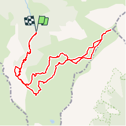


9.1 km | 24 km-effort


User


FREE GPS app for hiking
 SityTrail
IGN / Geographical institutes
SityTrail World
The world is yours!
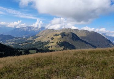
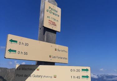
Trail Walking of 11.9 km to be discovered at Auvergne-Rhône-Alpes, Upper Savoy, Manigod. This trail is proposed by McDft.
Une belle boucle pour rejoindre un sommet peu fréquenté après un beau passage le long de la crête.
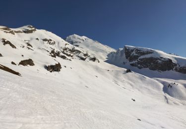
Touring skiing

Walking

Snowshoes

Walking

Motor
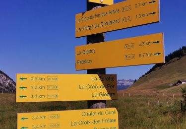
Walking
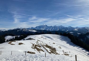
Snowshoes
Walking
Walking