8.2 km | 10.3 km-effort
boucle autour de Livarchamps
alfreson
User
Length
18.8 km
Max alt
521 m
Uphill gradient
457 m
Km-Effort
25 km
Min alt
392 m
Downhill gradient
456 m
Boucle
Yes
Creation date :
2016-05-05 00:00:00.0
Updated on :
2016-05-05 00:00:00.0
3h28
Difficulty : Easy
FREE GPS app for hiking
About
Trail Equestrian of 18.8 km to be discovered at Wallonia, Luxembourg, Bastogne. This trail is proposed by alfreson.
Description
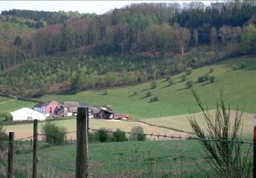
Par monts et par vaux dans les bois et campagnes de Livarchamps, en traversant le village de Lutremange
Positioning
Country:
Belgium
Region :
Wallonia
Department/Province :
Luxembourg
Municipality :
Bastogne
Location:
Villers-la-Bonne-Eau
Start:(Dec)
Start:(UTM)
696354 ; 5532750 (31U) N.
Comments
Trails nearby
Hompré. Natura 2000, des sites qui valent le détour. Lx8
Walking
Easy
(5)
Vaux-sur-Sûre,
Wallonia,
Luxembourg,
Belgium
2h 12min
Yes
RB-LUX-09 - Raccourci - À cheval sur la frontière belgo-luxembourgeoise, la Sûre
Walking
Easy
(2)
Fauvillers,
Wallonia,
Luxembourg,
Belgium
17 km | 24 km-effort
5h 4min
Yes
RB-LUX-09 - À cheval sur la frontière belgo-luxembourgeoise, la Sûre
Walking
Difficult
(4)
Fauvillers,
Wallonia,
Luxembourg,
Belgium
25 km | 34 km-effort
7h 3min
Yes
Auto-Pédestre Boulaide 1
On foot
Easy
Boulaide,
Unknown,
Canton Wiltz,
Luxembourg
6.9 km | 9.6 km-effort
2h 10min
Yes
Balade de la Strange (The Strange's Walk)
On foot
Medium
Fauvillers,
Wallonia,
Luxembourg,
Belgium
15.8 km | 21 km-effort
4h 43min
Yes
Strainchamps 2
Walking
Very difficult
(1)
Fauvillers,
Wallonia,
Luxembourg,
Belgium
14.5 km | 19.6 km-effort
4h 27min
Yes
Strainchamps
Walking
Very difficult
(1)
Fauvillers,
Wallonia,
Luxembourg,
Belgium
16.3 km | 21 km-effort
4h 47min
Yes
RB-Lu-27_Lutrebois
Walking
Very easy
Bastogne,
Wallonia,
Luxembourg,
Belgium
31 km | 39 km-effort
8h 27min
Yes
RB-Lu-27_Lutrebois_Boucle-2
Walking
Very easy
Bastogne,
Wallonia,
Luxembourg,
Belgium
21 km | 26 km-effort
5h 4min
Yes