


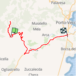

18.9 km | 32 km-effort


User


FREE GPS app for hiking
 SityTrail
IGN / Geographical institutes
SityTrail World
The world is yours!
Trail Other activity of 30 km to be discovered at Corsica, South Corsica, Sotta. This trail is proposed by wallander76.
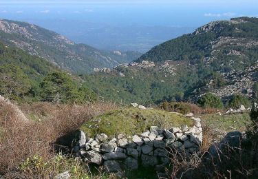
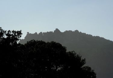
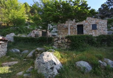
Superbe marche aller-retour avec un dénivelé relativement important mais, l'on est largement récompensé lorsque l'on découvre les bergeries,

Walking

Running
Walking
Walking
Walking
Walking
Walking
Walking
Walking