


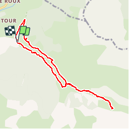

19.8 km | 46 km-effort

User


FREE GPS app for hiking
 SityTrail
IGN / Geographical institutes
SityTrail World
The world is yours!
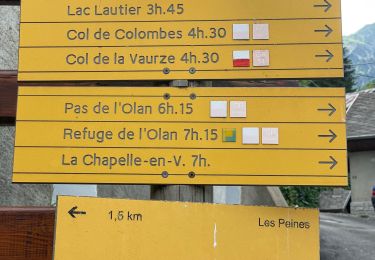
Trail Walking of 8.9 km to be discovered at Provence-Alpes-Côte d'Azur, Hautes-Alpes, Saint-Maurice-en-Valgodemard. This trail is proposed by Dervalmarc.
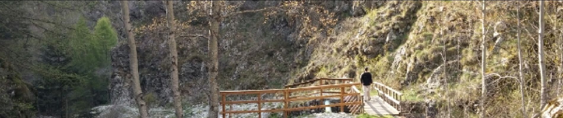
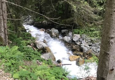
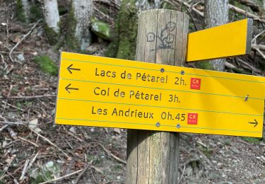
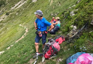
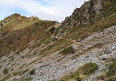
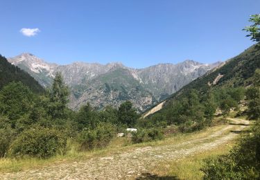
Agréable parcours couplant les chalets de Prenticq et la petite cabane du Sellar.Tout cela dans le cadre grandiose d'un vallon sauvage ou vous aurez la possibilité d'observer de nombreux chamois.


Walking

Walking
Walking
Walking
Walking
Walking
Walking

Walking
Walking