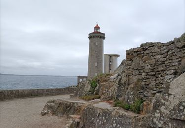
50 km | 58 km-effort
guilers
jmboucher
User
Length
12.5 km
Max alt
97 m
Uphill gradient
179 m
Km-Effort
14.9 km
Min alt
6 m
Downhill gradient
176 m
Boucle
Yes
Creation date :
2016-05-01 00:00:00.0
Updated on :
2016-05-01 00:00:00.0
2h34
Difficulty : Very easy
FREE GPS app for hiking
About
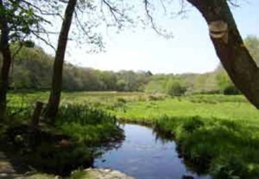
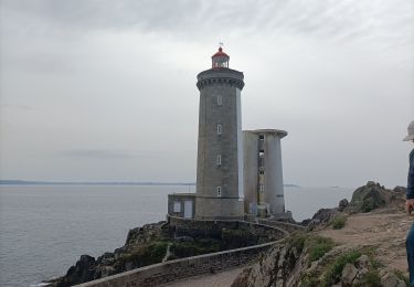
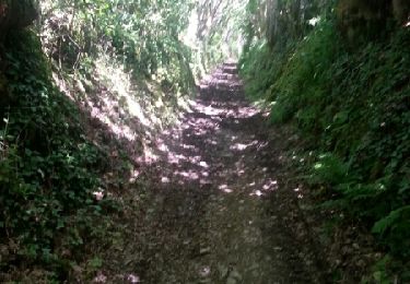
Trail Walking of 12.5 km to be discovered at Brittany, Finistère, Brest. This trail is proposed by jmboucher.
Description
entre Brest et Guilers par le bois de Keroual
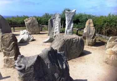
Positioning
Country:
France
Region :
Brittany
Department/Province :
Finistère
Municipality :
Brest
Location:
Unknown
Start:(Dec)
Start:(UTM)
387215 ; 5361269 (30U) N.
Comments
Trails nearby
Au fil de la Penfeld
Mountain bike
Medium
(1)
Bohars,
Brittany,
Finistère,
France
20 km | 23 km-effort
1h 30min
Yes
géant, moulin blanc. neovan
Nordic walking
Easy
(1)
Brest,
Brittany,
Finistère,
France
9.6 km | 11.7 km-effort
2h 24min
No
Brest les quatres pompes
Nordic walking
Very easy
(1)
Brest,
Brittany,
Finistère,
France
21 km | 28 km-effort
5h 6min
Yes
BREST-Parcours de ville
Walking
Very easy
Brest,
Brittany,
Finistère,
France
9.2 km | 11.5 km-effort
2h 30min
Yes
De Lambézellec à Gouesnou
Walking
Easy
Brest,
Brittany,
Finistère,
France
7 km | 8 km-effort
1h 45min
No
De Brest à Plabennec
Walking
Very difficult
Brest,
Brittany,
Finistère,
France
20 km | 24 km-effort
5h 0min
No
les quatre pompes
Nordic walking
Very easy
Brest,
Brittany,
Finistère,
France
22 km | 29 km-effort
4h 55min
Yes