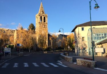
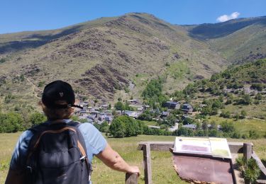
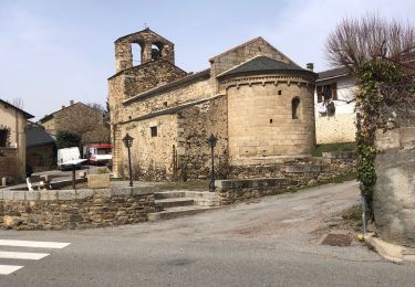
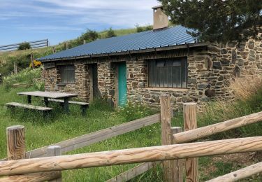
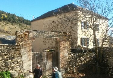
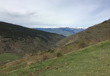
Trail Walking Nahuja - boucle de Nahuja - Photo
 crijack
crijack

User

© OpenStreetMap contributors
Length
Length
11.8 km
Max alt
Max alt
1744 m
Uphill gradient
Uphill gradient
480 m
Km-Effort
Km-Effort  
18.2 km
Min alt
Min alt
1266 m
Downhill gradient
Downhill gradient
484 m
Boucle
Boucle
Yes
Creation date :
2016-04-25 00:00:00.0
Updated on :
2016-04-25 00:00:00.0

(1 Reviews)

Walking
Walking
2h44
Difficulty : Medium

Scan this QR Code to open this trail in the SityTrail application

FREE GPS app for hiking

Logo SityTrail SityTrail

IGN / Geographical institutes

Download SityTrail from the App Store Download SityTrail from Google Play

Logo SityTrail SityTrail World

The world is yours!

Download SityTrail from the App Store Download SityTrail from Google Play Download SityTrail on Huawei AppGallery

About

Trail Walking of 11.8 km to be discovered at Occitania, Pyrénées-Orientales, Nahuja. This trail is proposed by crijack.

Description

Chemin de Nahuja au refuge et retour avec une vue splendide tout au long de la descente qui se termine par un petit raccourci

Elevation profile

Photos

Positioning

Country:
France
Region :
Occitania
Department/Province :
Pyrénées-Orientales
Municipality :
Nahuja
Location:
Unknown
Start:(UTM)
417205 ; 4697434 (31T) N.

Comments

Please log in to post a review or rate the element


Trails nearby

Trail Walking Ur - de Ur vers La Chapelle de Belloc - Photo
Walking
ThonyM

Walking

Easy
(1)
Ur, Occitania, Pyrénées-Orientales, France
20 km | 28 km-effort
7h 14min
Yes
Trail sport Saillagouse - 20240623 Saillagouse -Err - Photo
sport
ThonyM

sport

Very easy
Saillagouse, Occitania, Pyrénées-Orientales, France
11.9 km | 15.5 km-effort
Unknown
Yes
Trail Walking Valcebollère - Chapelle San Bernabéu  - Photo
Walking
lolyhalle

Walking

Easy
Valcebollère, Occitania, Pyrénées-Orientales, France
5.4 km | 8.6 km-effort
1h 50min
No
Trail Walking Estavar - 20220328 Estavar-Tartassonne(?) - Photo
Walking
ThonyM

Walking

Medium
Estavar, Occitania, Pyrénées-Orientales, France
14.8 km | 22 km-effort
3h 16min
Yes
Trail Walking Saillagouse - 20210627 à partir de Saillagouse  - Photo
Walking
ThonyM

Walking

Medium
(1)
Saillagouse, Occitania, Pyrénées-Orientales, France
16.2 km | 26 km-effort
3h 47min
Yes
Trail Walking Valcebollère - la cami de sant bertheleu - Photo
Walking
Merlos

Walking

Very easy
Valcebollère, Occitania, Pyrénées-Orientales, France
6.2 km | 9.7 km-effort
2h 25min
Yes
Trail Walking Ur - ur - Photo
Walking
Fildesir

Walking

Very easy
Ur, Occitania, Pyrénées-Orientales, France
18.5 km | 26 km-effort
7h 5min
No
Trail Walking Valcebollère - Valcebollère chapelle Saint Barnabeu - Photo
Walking
crijack

Walking

Medium
Valcebollère, Occitania, Pyrénées-Orientales, France
11.3 km | 17.4 km-effort
3h 27min
Yes
Trail Walking Valcebollère - Valcebollère chapelle Saint Barnabeu - Photo
Walking
crijack

Walking

Medium
Valcebollère, Occitania, Pyrénées-Orientales, France
11.3 km | 17.4 km-effort
3h 27min
Yes


Close
My subscriptions